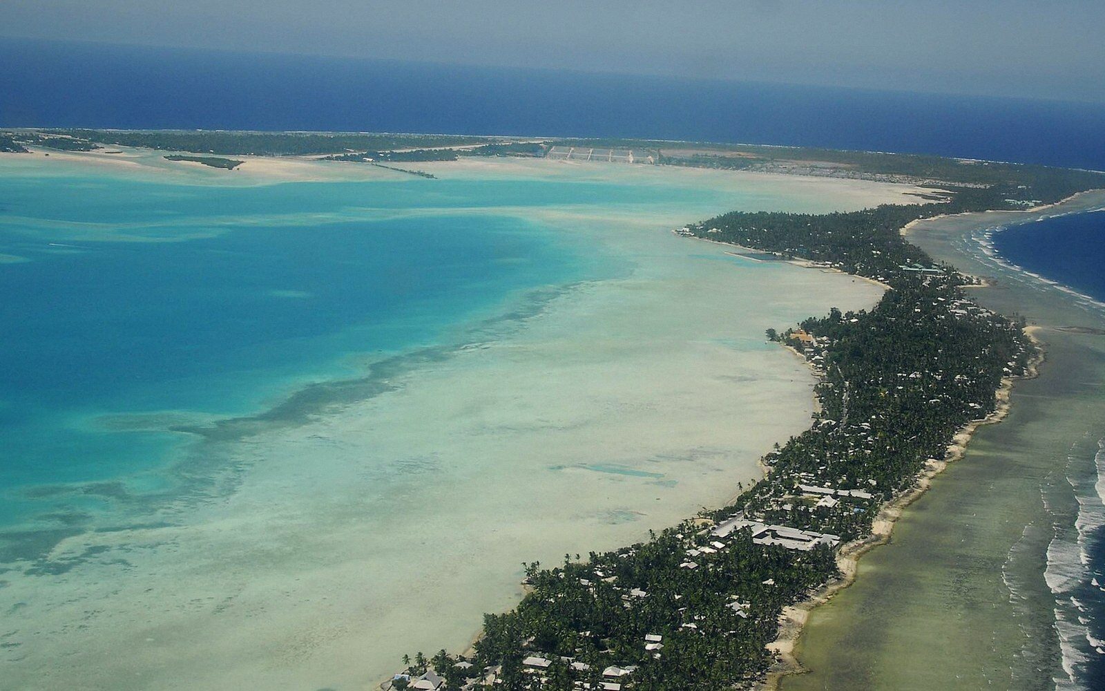
Thirty-three islands in five million square kilometres of ocean.
Kiribati is thirty-two low coral islands and one raised one, scattered across an ocean the size of a continent. This guide explains it properly — the geometry, the distances, the water, the history — one photograph at a time.
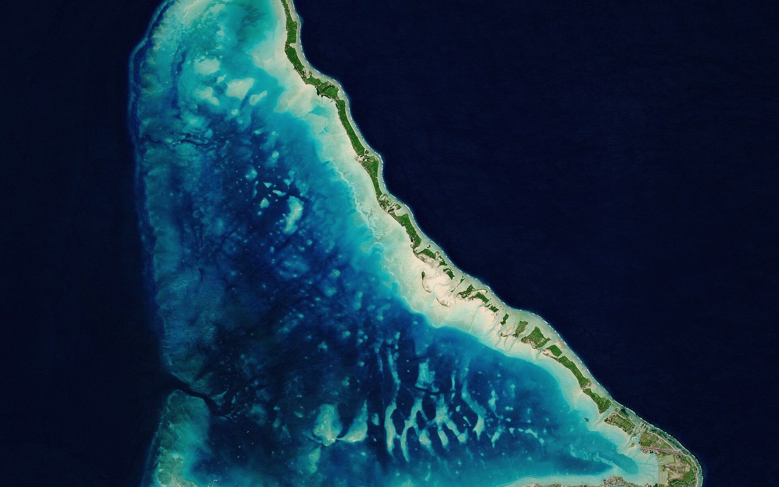
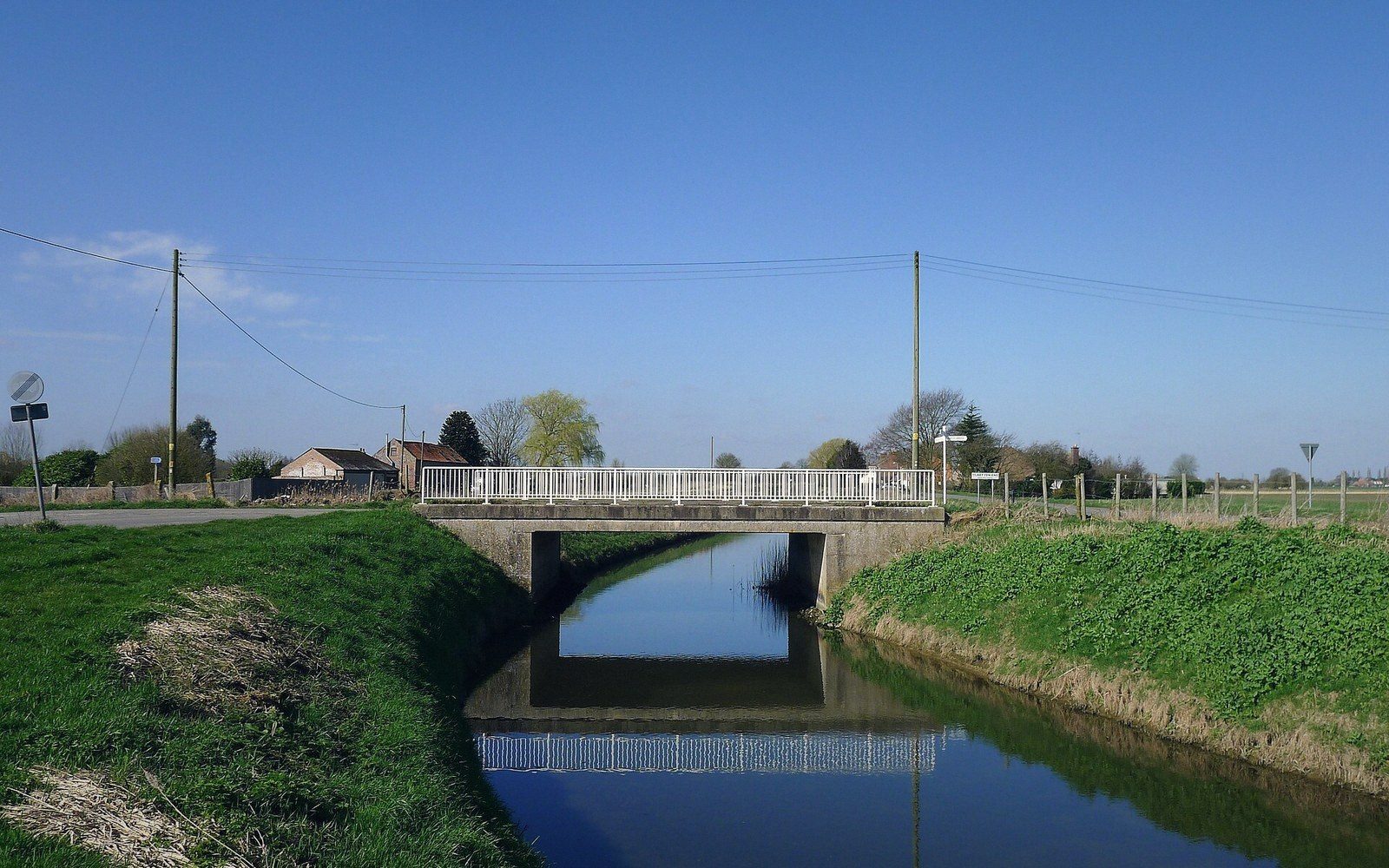
The road network is causeways; at the biggest tides, parts of it briefly belong to the sea again.
The Road Is a Causeway →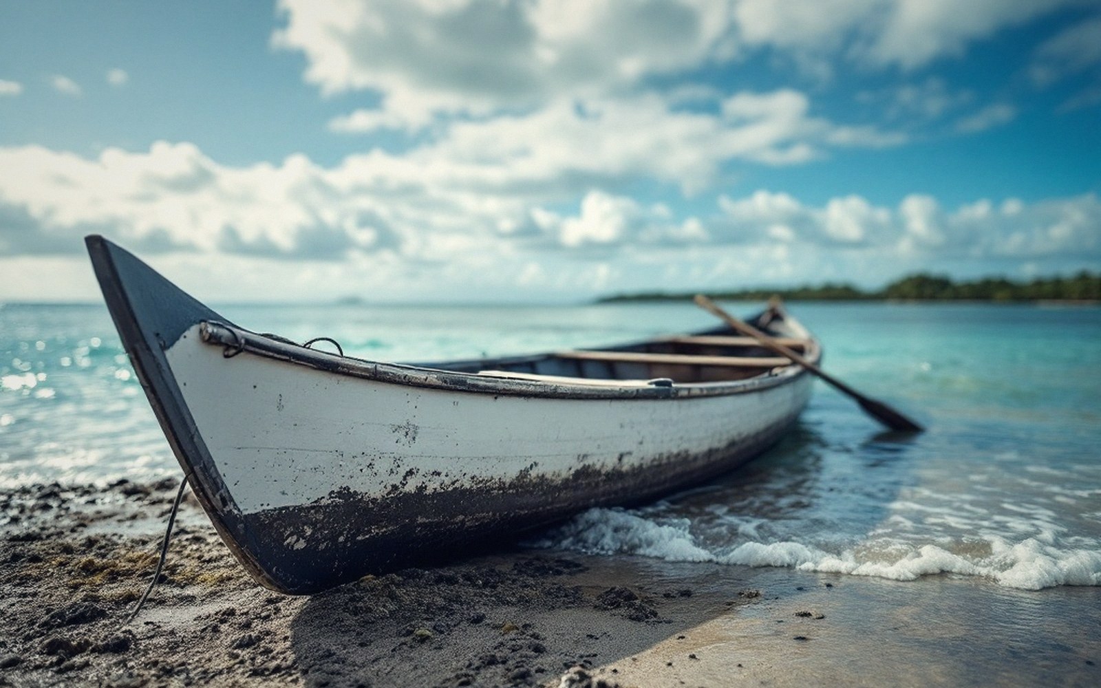
The wa, the outrigger canoe, still crosses lagoons the flight timetable ignores.
Flights, and Why They Are Not the Answer →Nothing here is far away on the map. Everything is far away on the water.
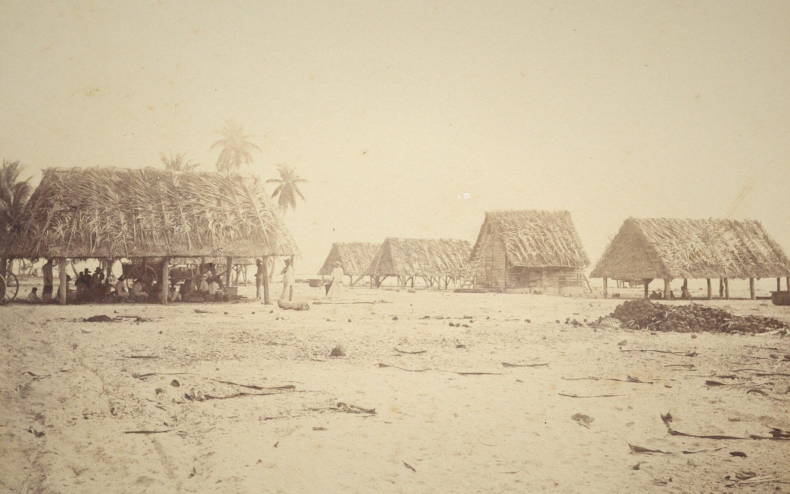
Copra — dried coconut — is the outer islands’ cash crop, sacked and shipped when the boat comes.
Copra Holds the Outer Islands Together →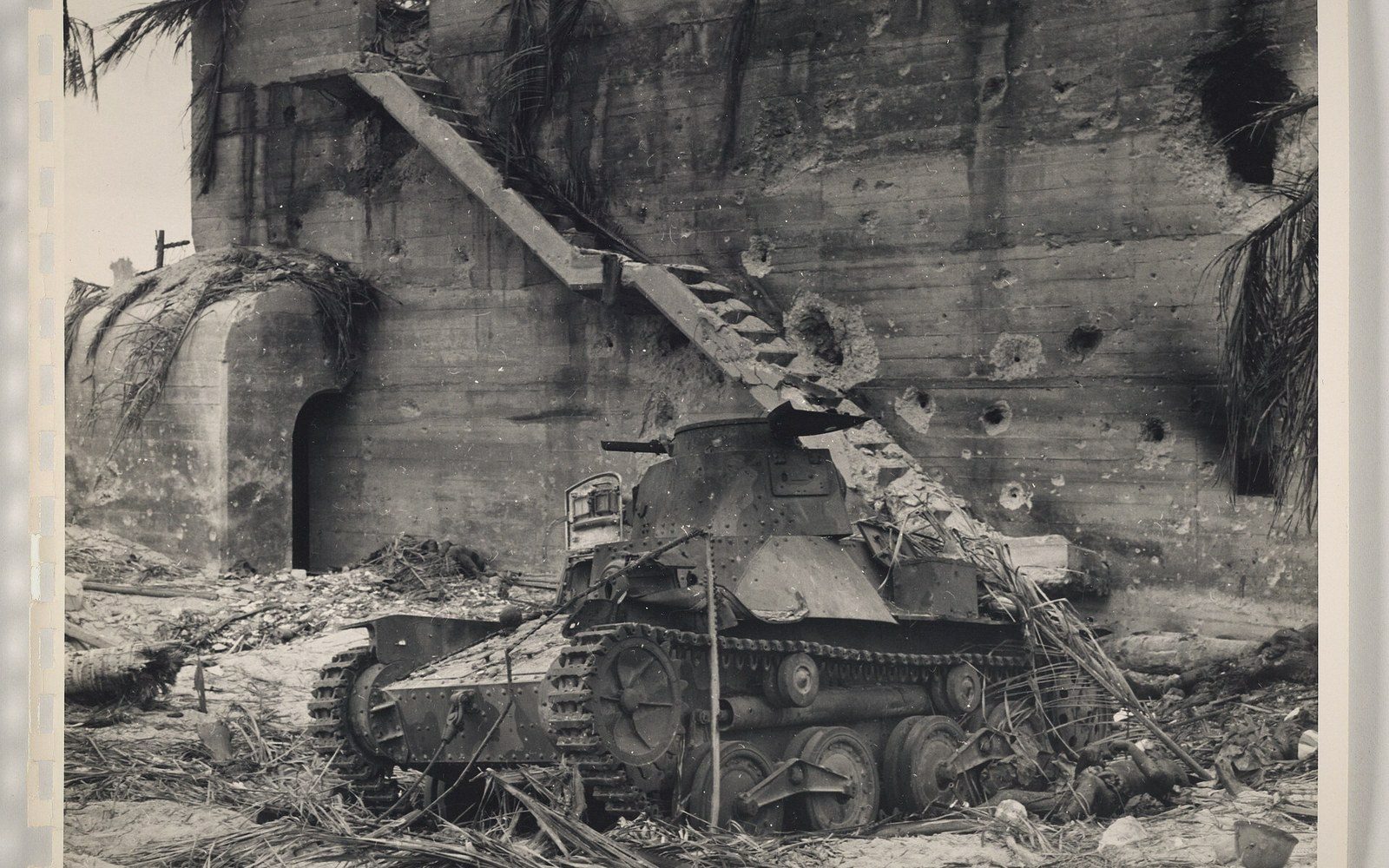
Betio, three square kilometres, seventy-six hours in November 1943. The guns are still where they stopped.
Betio, November 1943 →The sea is not scenery here; it is the other party to every arrangement.
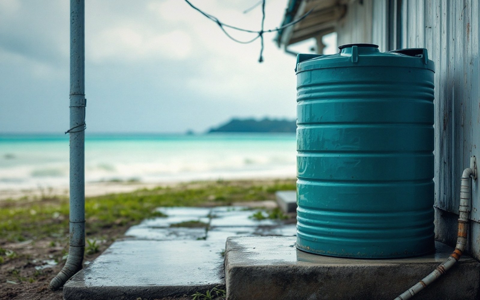
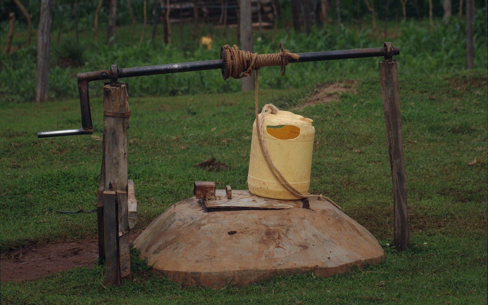
Fresh water is rain, caught or floating in a thin lens under the islet. Both are budgets, not gifts.
The Freshwater Lens →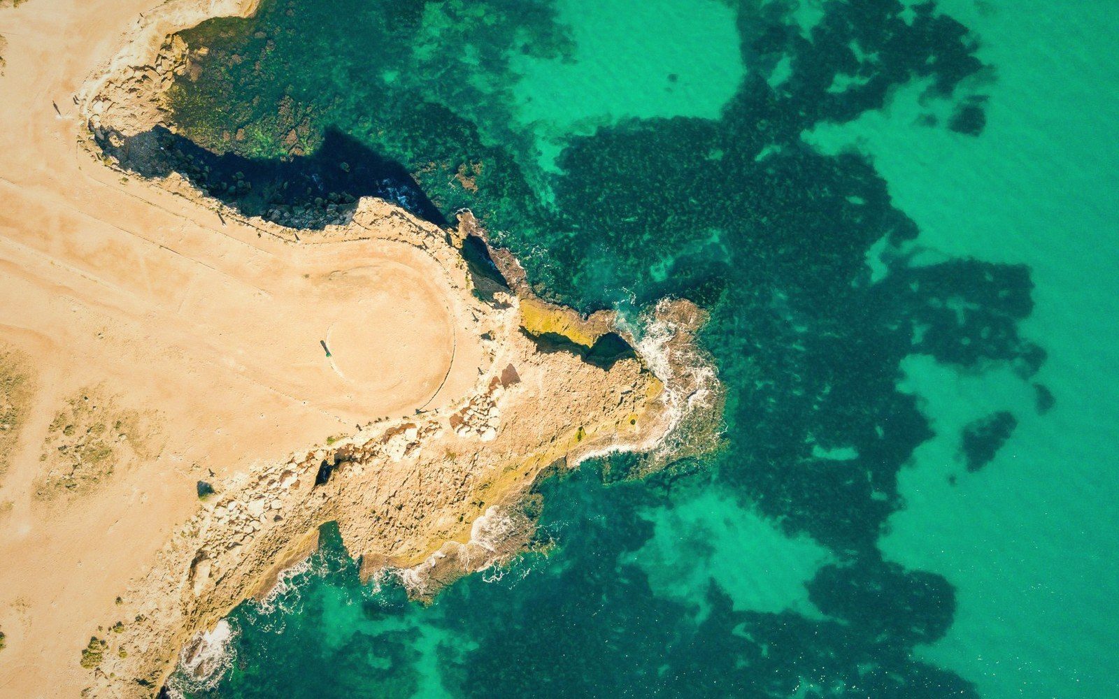
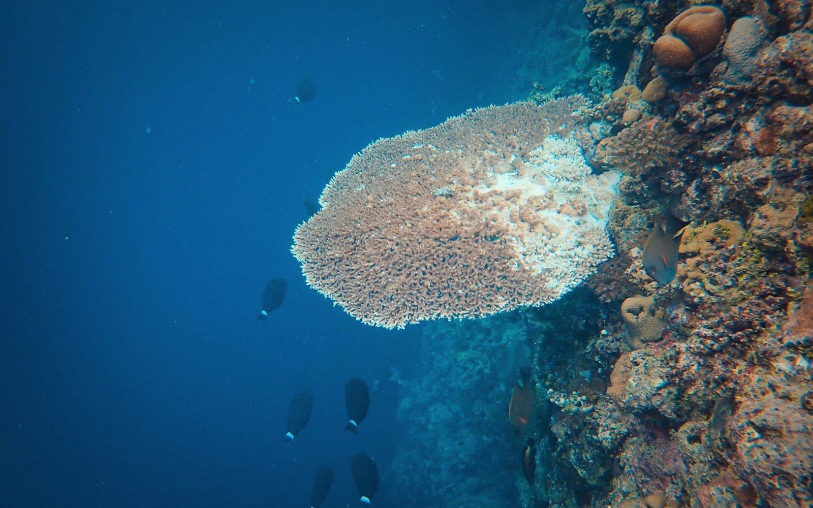
Past the reef edge the country is suddenly four thousand metres deep. Most of Kiribati is this.
Past the Reef Edge →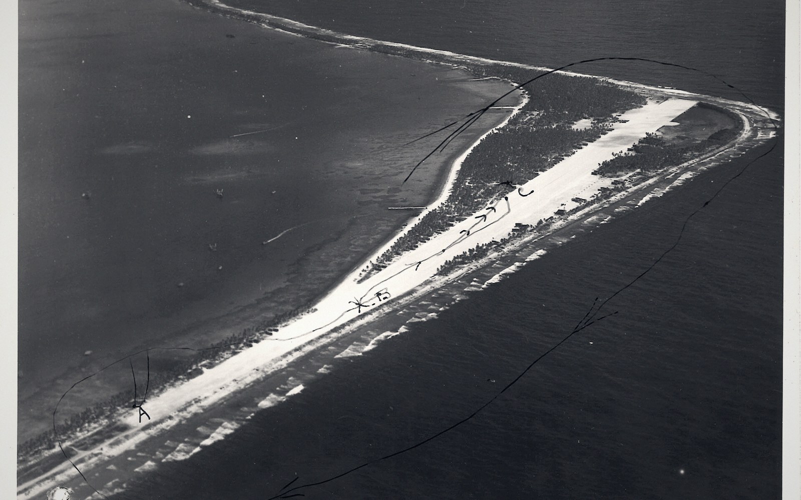
The flattest ground on most islands is the airstrip; the distances it serves do not look like distances on any map.
Distances That Do Not Look Like Distances →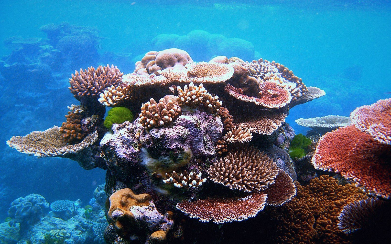 01
The Atolls
01
The Atolls
Thirty-three islands, three groups, one geometry.
- 01What an Atoll Actually Is
- 02Tarawa, and the Density Nobody Expects
- 03The Gilbert Group
- 04The Line and Phoenix Islands
- 05Kiritimati Is the Largest Atoll on Earth
 02
Getting Around
02
Getting Around
Causeways, ships, and a flight timetable the ocean ignores.
- 01The Road Is a Causeway
- 02The Ships That Do the Real Work
- 03Flights, and Why They Are Not the Answer
- 04The Country That Moved the Date Line
- 05Distances That Do Not Look Like Distances
 03
Reef & Ocean
03
Reef & Ocean
Past the reef edge the country is four thousand metres deep.
- 01Past the Reef Edge
- 02The Phoenix Islands Protected Area
- 03The Lagoon Is a System
- 04Tuna and the Licence Economy
- 05What Bleaching Actually Does
 04
History
04
History
Colony, phosphate, war, independence.
- 01Betio, November 1943
- 02The Gilbert and Ellice Islands Colony
- 03Phosphate and Banaba
- 04Independence, 1979
- 05The Relics Are Still on the Beach
 05
Living With the Sea
05
Living With the Sea
Fresh water, sea level, and a thin lens under the islet.
- 01The Freshwater Lens
- 02The Highest Ground Is a Few Metres
- 03Copra Holds the Outer Islands Together
- 04Migration With Dignity
No photograph can show the country. The Gilbert, Phoenix and Line groups span some 3,500 kilometres of ocean — and since 1995, when Kiribati moved the date line east around its own islands, all thirty-three share a single day.