
Flights, and Why They Are Not the Answer
The country has scheduled air services. They connect perhaps a quarter of the islands. That fraction matters.
01The Shape of the Problem
Kiribati's exclusive economic zone covers roughly 3.5 million square kilometres of ocean, an area on the scale of a continent, yet most of that ocean is simply empty. The thirty-three atolls and reef islands are scattered across three separate groups — the Gilberts in the west, the Phoenix Islands in the centre, and the Line Islands strung far to the east — and the distances that separate them are not the kind that yield to timetables. A flight from South Tarawa to Kiritimati, sitting out in the Line group, covers roughly 3,500 kilometres. That is roughly London to Cairo. There is no hopping network that makes this feel small.
South Tarawa is the hub. Bonriki International Airport, on the islet of Bonriki at the eastern end of the South Tarawa chain, handles the international routes — Air Kiribati and the occasional regional carrier connect the capital to Fiji, to the Marshall Islands, to Nauru. From Bonriki, domestic services push outward to the other Gilbert islands and, on a much less frequent basis, to Kiritimati. The Phoenix Islands have no scheduled service at all.
02Runways and Reef
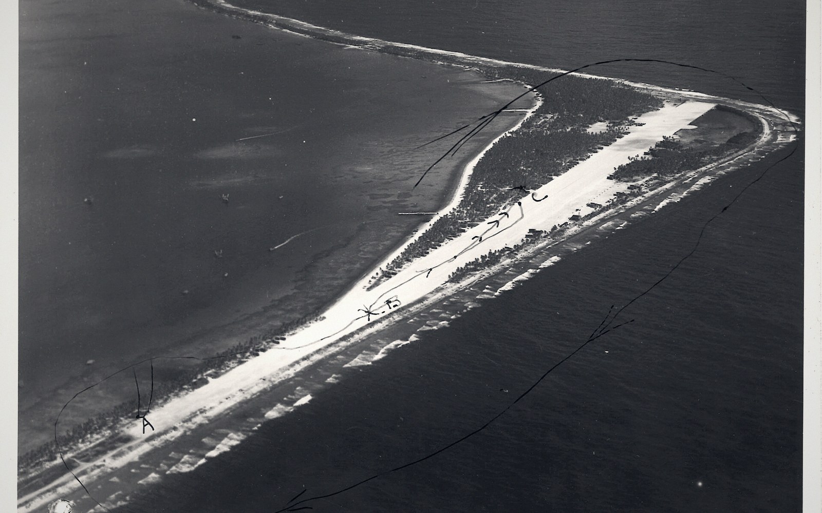
The limiting factor on most outer islands is not demand but geometry. An atoll islet is narrow. A usable airstrip requires a ribbon of flat, compacted ground long enough for a small turboprop to land and stop, which on a strip of land that may be no wider than a few hundred metres means the runway occupies almost the full width of the island. Several islands in the Gilberts have such strips, cut close to the lagoon edge. They are functional in good conditions and marginal in others. The aircraft that use them are small — typically configured for under twenty passengers — and they operate at load limits that account for fuel weight on long over-water legs.
Not every island with a strip has regular service. A schedule that looks viable on paper becomes economical only if enough passengers and freight combine to fill a small aircraft on enough days. On islands where the resident population numbers in the hundreds, that threshold is reached infrequently. Flights may run once or twice a week on the busier Gilbert routes; on others, service is periodic at best. No schedule quoted here would still be accurate by the time you read it.
03Why Ships Still Govern the Calendar
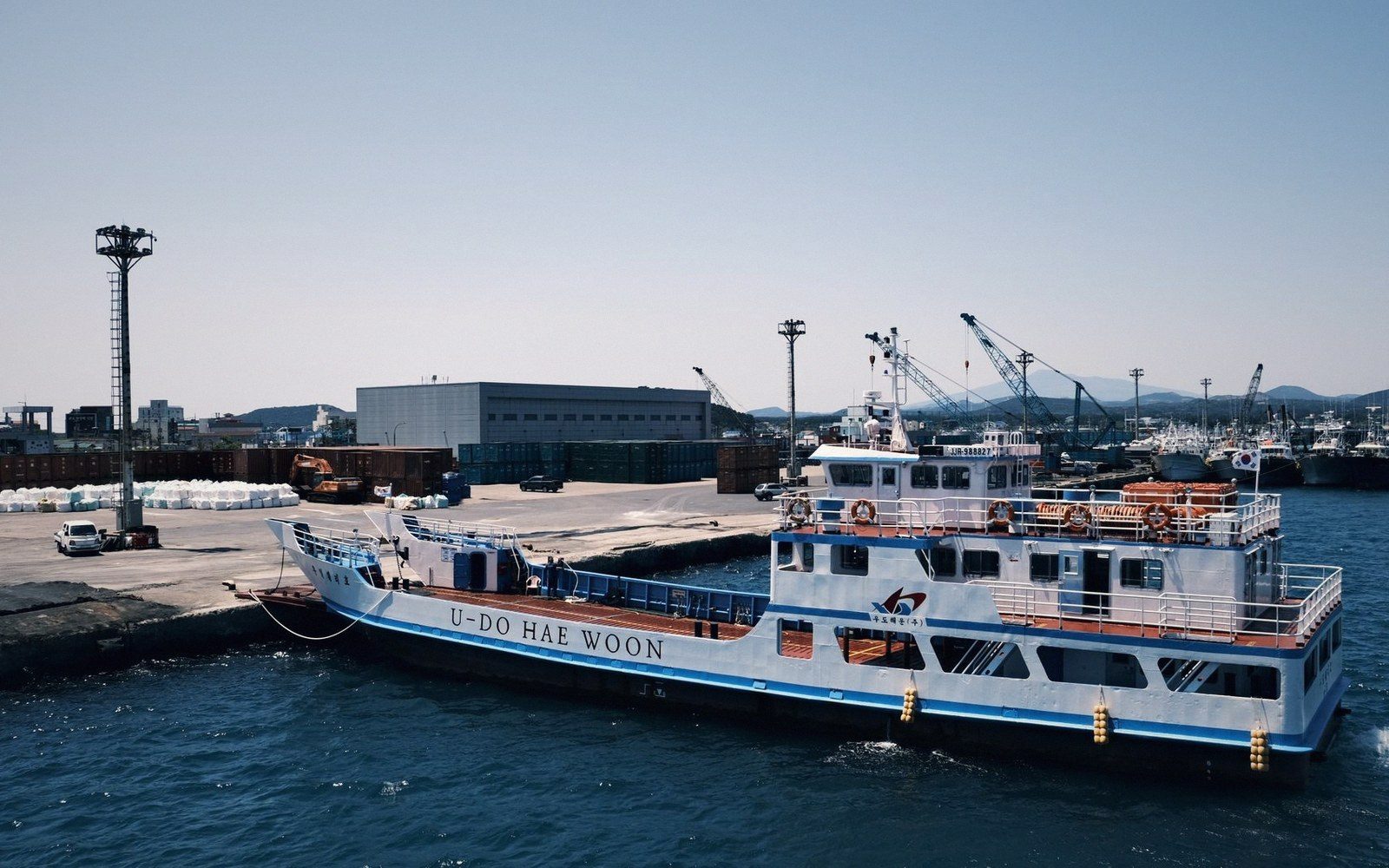
For most I-Kiribati, and for most practical movement between islands, the ships do the real work . Copra vessels, passenger ferries and government supply ships connect the outer Gilberts on a rotation that is measured in days, not hours. The crossing from Tarawa to the southern Gilberts can take the better part of a day under good conditions; longer crossings, including anything reaching the Phoenix group, require multi-day voyages. This is not a failure of infrastructure. It is the honest arithmetic of the distances.
What flights do well is compress the extraordinary: they make it possible to move a medical case, a government official, or urgent freight between capital and outer island without a week's delay. For those purposes, the air network is genuinely significant. What flights cannot do is serve as the primary connective tissue of a country this large on any realistic frequency or aircraft count.
Understanding Kiribati as a place to move through — rather than a dot on a map — means accepting that distance here is measured in how many nights you spend on the water, how many tides pass, and what the weather is doing over the central Pacific. The runway at Bonriki is real and useful. It just doesn't change the geometry.
 Next in Getting AroundThe Country That Moved the Date LineKiribati straddles 180 degrees, and in 1995 the line was redrawn so the whole country shared one date. What that solved and what it means for anyone reading a map.Read it →
 The Road Is a CausewayHow the islets of South Tarawa were joined, what a causeway does to lagoon circulation, and what happens to the road at the biggest tides.
 The Ships That Do the Real WorkCopra boats and passenger ships as the actual transport network between islands, and the timetable realities of moving across an ocean-sized country.
 Distances That Do Not Look Like DistancesWhy a map of the Pacific systematically understates how far apart these islands are, and what the real spacing does to daily life.