The Ships That Do the Real Work
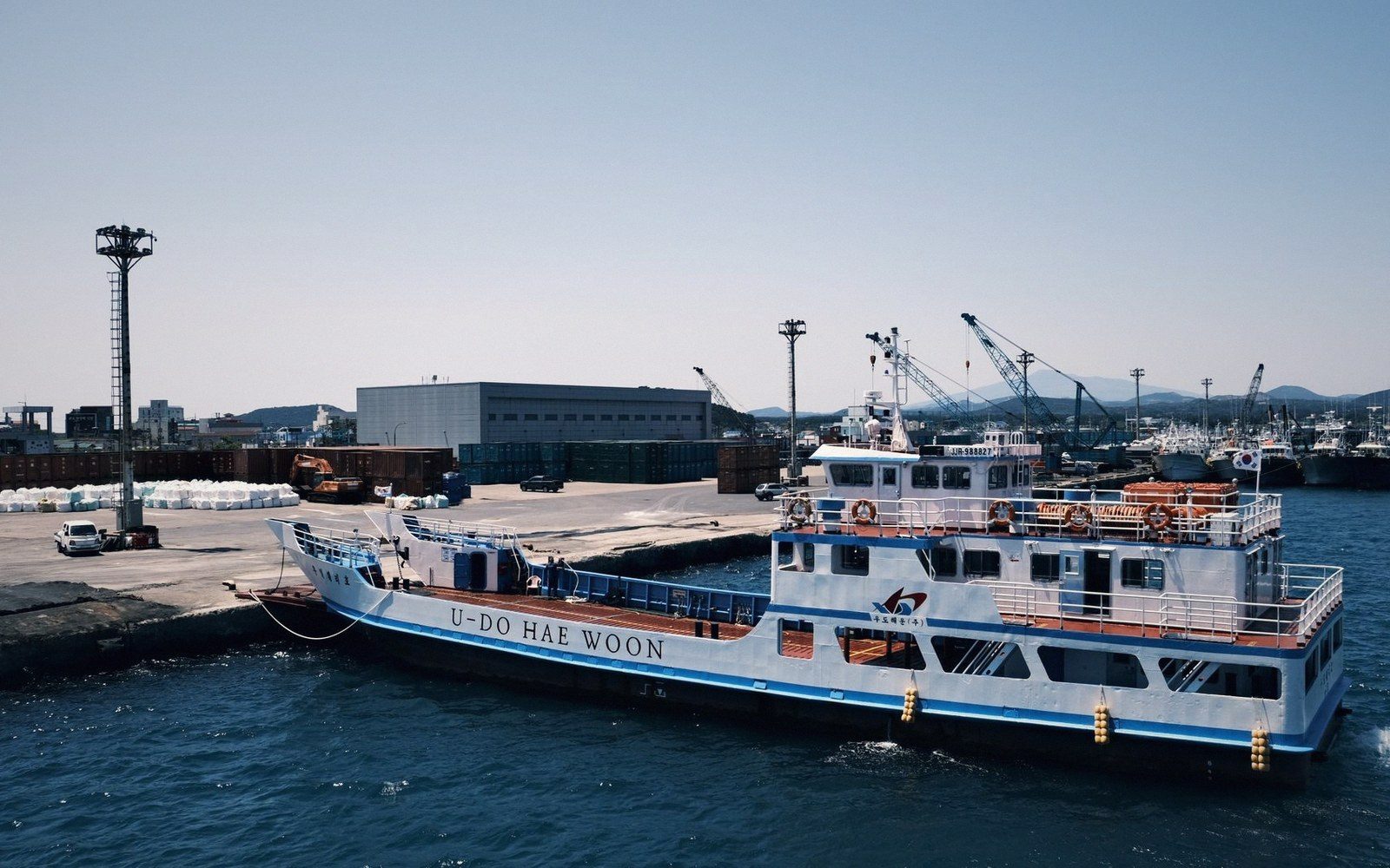
The flight schedule is real, but the ship is how most people travel, how most goods move, and how the outer islands stay connected to the rest of Kiribati at all.
01The Network Beneath the Timetable
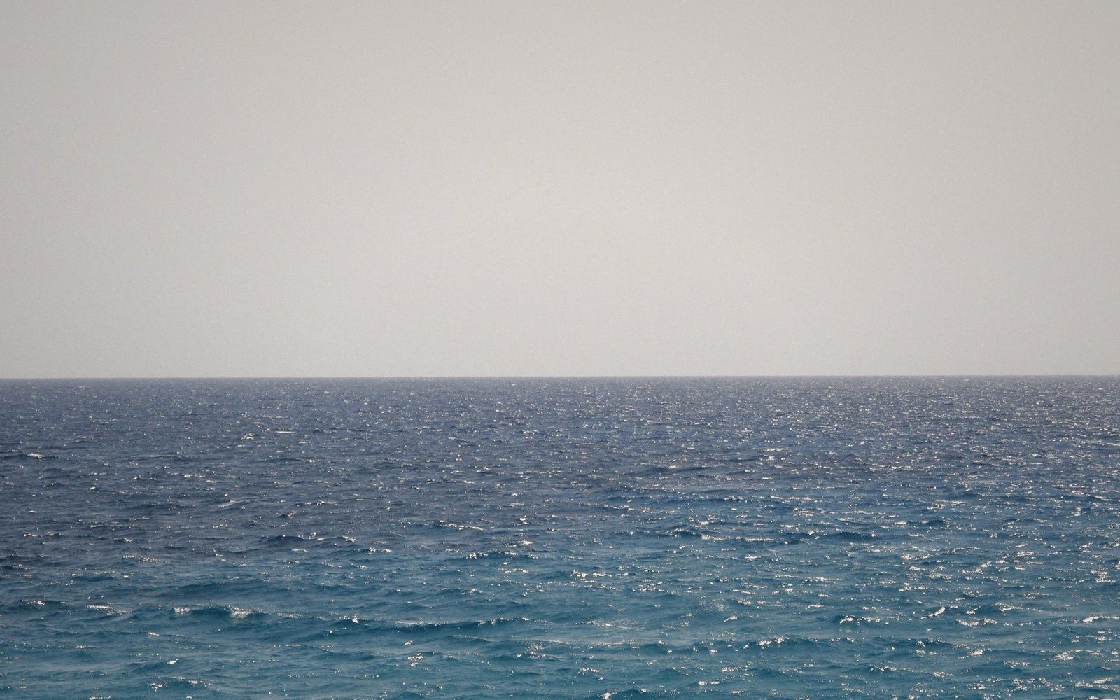
Kiribati stretches across an area of ocean comparable in width to the continental United States. Its thirty-three atolls and reef islands are sorted into three groups — the Gilberts in the west, the Phoenix Islands in the centre, and the Line Islands far to the east — and the distances between them are not the kind that look alarming on a small map but turn out fine on arrival. They are genuinely vast. A vessel sailing from South Tarawa to Kiritimati is covering well over three thousand kilometres of open Pacific.
The ships that serve this network are cargo-passenger vessels operated under government contract, supplemented by smaller inter-island craft. They carry copra out and rice, fuel, building materials and consumer goods in. They carry passengers in both directions: civil servants rotating to outer-island postings, families travelling for weddings and funerals, students returning home, traders moving stock. On many atolls, the ship is the only way in or out, and the gap between visits can run to weeks.
02What the Journey Actually Looks Like
The main vessels are not large by any ocean standard — typically a few hundred tonnes of cargo capacity, with basic passenger accommodation. Cabins exist but berths are limited; deck passage, meaning a mat and a space on an open or covered deck, is the normal experience for most travellers. Cooking arrangements are communal. The crossing to the outer Gilberts from South Tarawa takes a day or more depending on the island; reaching the Phoenix group takes considerably longer; the Line Islands, given their position past the date line and their distance from the Gilberts, require a serious passage by any measure.
Schedules are published but are better understood as intentions. Weather, cargo loading delays, mechanical issues and the competing demands of a small fleet serving a very large territory all affect departure times. Experienced travellers build in days of flexibility. This is not a complaint about the service — it is the arithmetic of operating ships across this much ocean with these resources. The vessel that links an outer atoll to the capital is doing something genuinely difficult, and it does it.
03Copra and the Logic of the Route
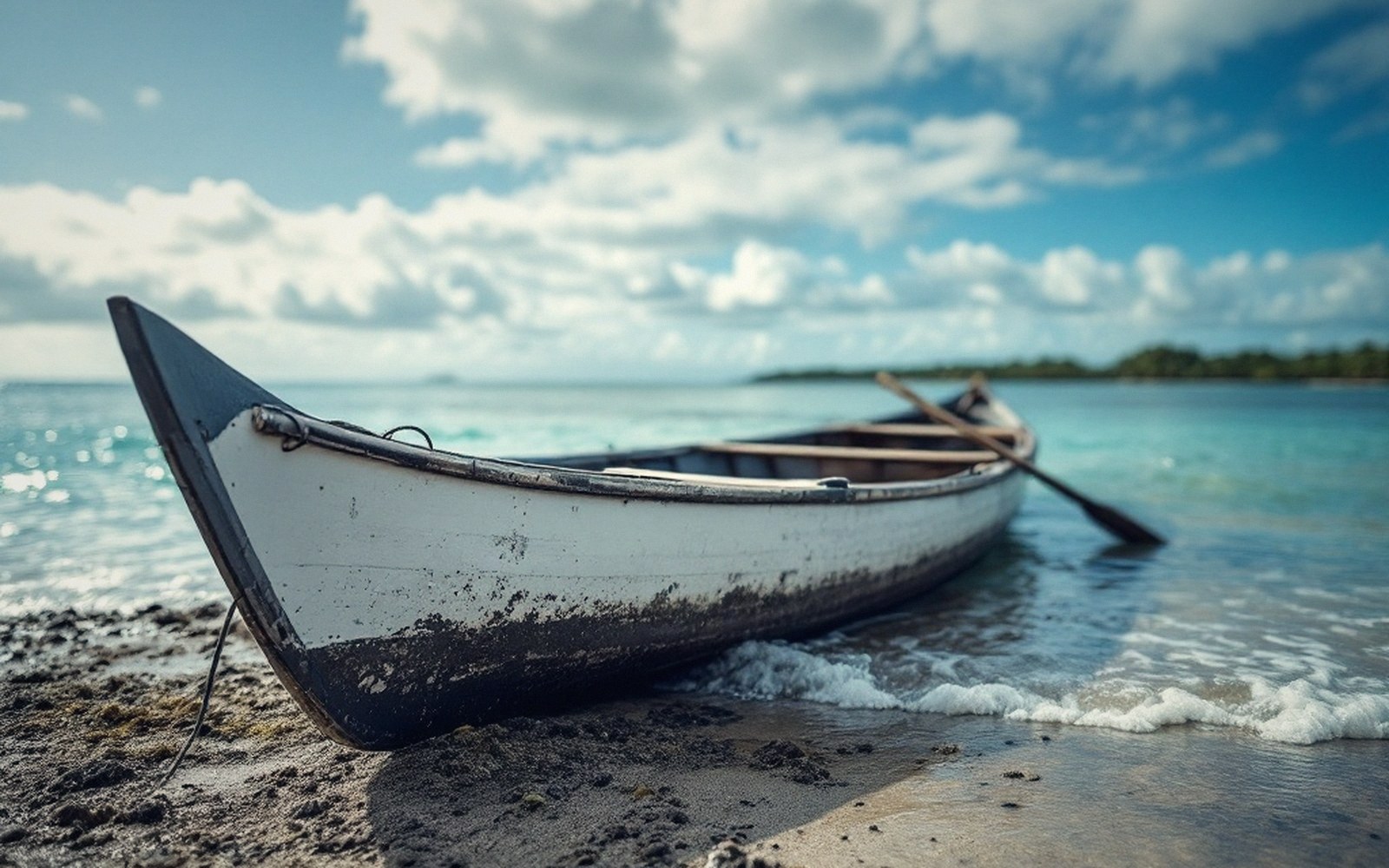
The cargo determines a great deal about the routing. Copra — dried coconut flesh, the outer islands' primary cash crop — is collected on a circuit; the ship arrives, loads sacks of copra from the maneaba (the community meeting house that often serves as the island's logistics hub too), offloads supplies, and moves on to the next atoll. This circular logic means that a passenger boarding for one island may find themselves travelling via several others first, adding time and distance that a straight-line route would not require. The trade-off is that the same voyage which inconveniences a traveller is sustaining the economic connection that keeps outer communities viable.
Passenger-only trips, where they exist, are faster, but the copra circuit is the foundation of outer-island service. Remove it, and you remove the financial rationale for many of the sailings.
04The Timetable as Fact of Life
For outer-island communities, the ship schedule structures time in a way that mainlanders find hard to imagine. A missed sailing does not mean the next departure in a few hours. It may mean a wait of weeks. Medical evacuations by ship are possible but slow; the preference is always air for emergencies, and the limitations of outer-island runways matter enormously in that context. In ordinary life, though, ship travel is not a backup option — it is the primary one. Families plan around it, officials schedule around it, and goods are ordered with the manifest cycle in mind.
This is a country that governs itself across oceanic distances using vessels that most nations would consider inadequate for the task. That they do it at all, and that the outer islands remain inhabited and connected, says something real about both the infrastructure and the people who depend on it.
--- An independent guide to Kiribati. Not a tour operator, booking service or official tourism body, and not affiliated with the Government of Kiribati.
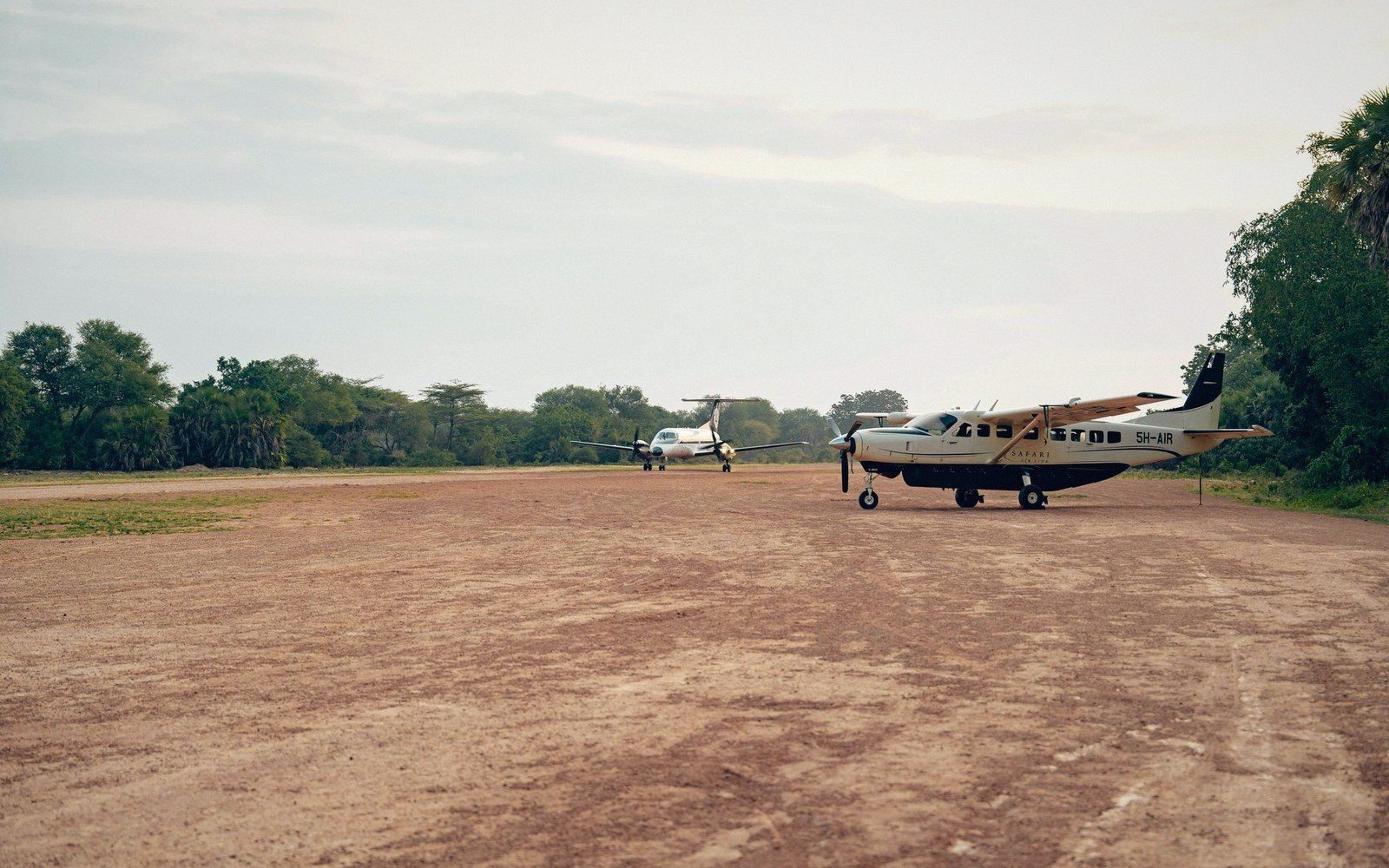 Next in Getting AroundFlights, and Why They Are Not the AnswerAir links between groups, the runway constraints on small atolls, and why distance in Kiribati is measured in days rather than hours. No schedules quoted — they change.Read it →
 The Road Is a CausewayHow the islets of South Tarawa were joined, what a causeway does to lagoon circulation, and what happens to the road at the biggest tides.
 The Country That Moved the Date LineKiribati straddles 180 degrees, and in 1995 the line was redrawn so the whole country shared one date. What that solved and what it means for anyone reading a map.
 Distances That Do Not Look Like DistancesWhy a map of the Pacific systematically understates how far apart these islands are, and what the real spacing does to daily life.