Getting Around
Causeways, ships, and a flight timetable the ocean ignores.
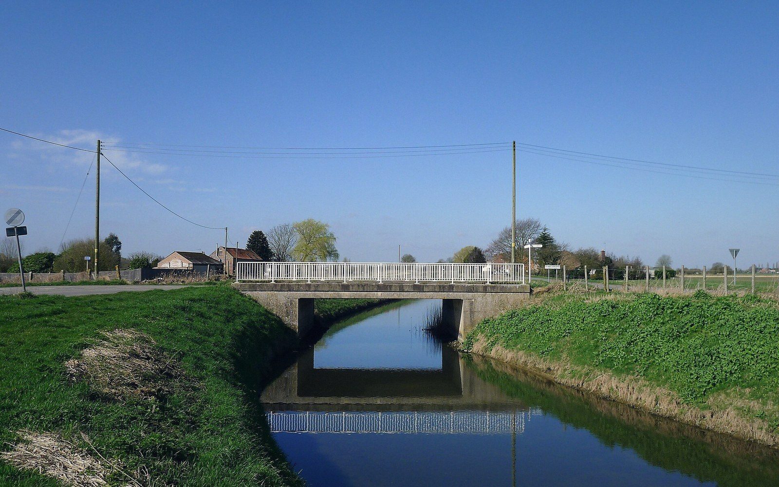
The Road Is a Causeway
How the islets of South Tarawa were joined, what a causeway does to lagoon circulation, and what happens to the road at the biggest tides.
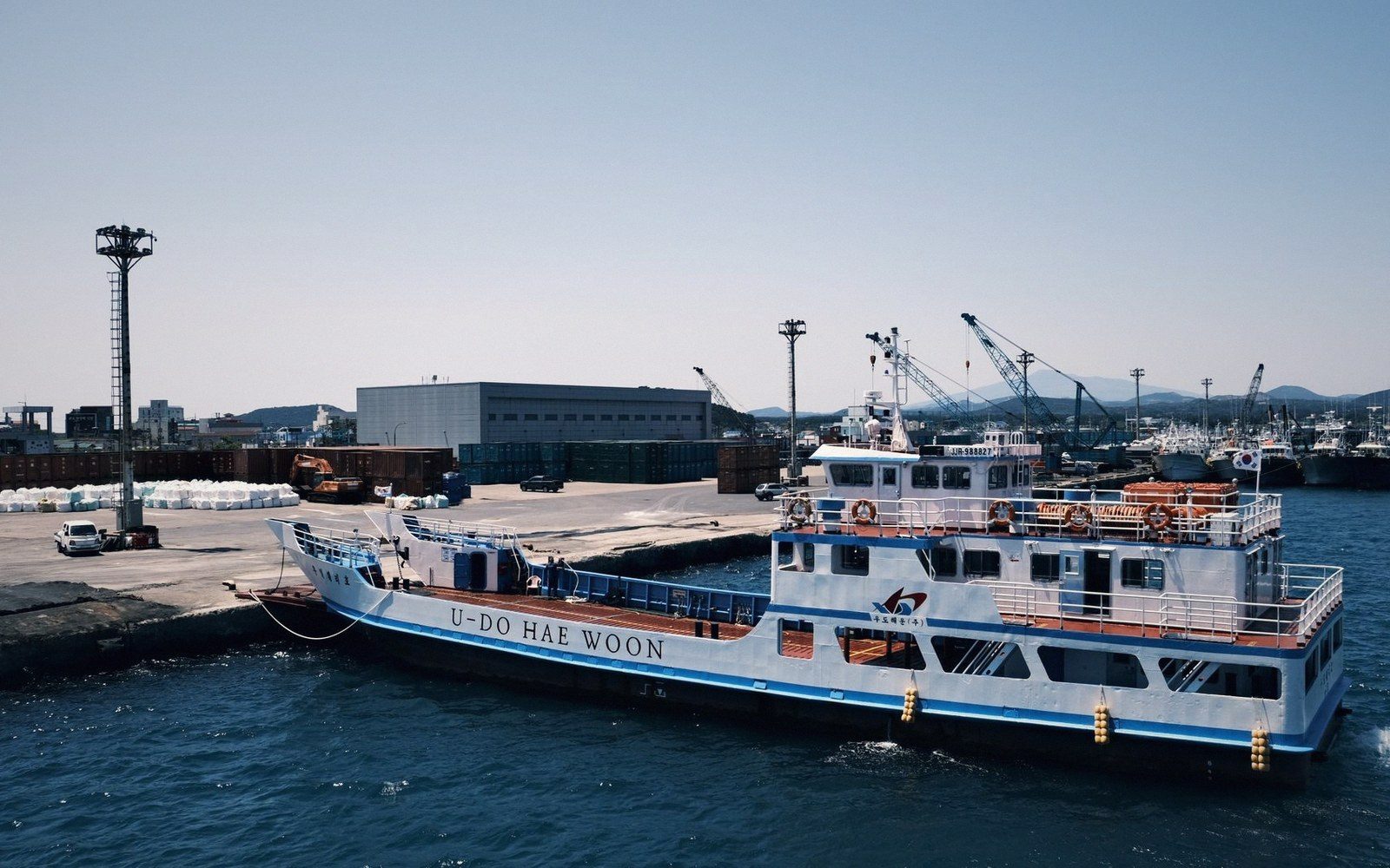
The Ships That Do the Real Work
Copra boats and passenger ships as the actual transport network between islands, and the timetable realities of moving across an ocean-sized country.
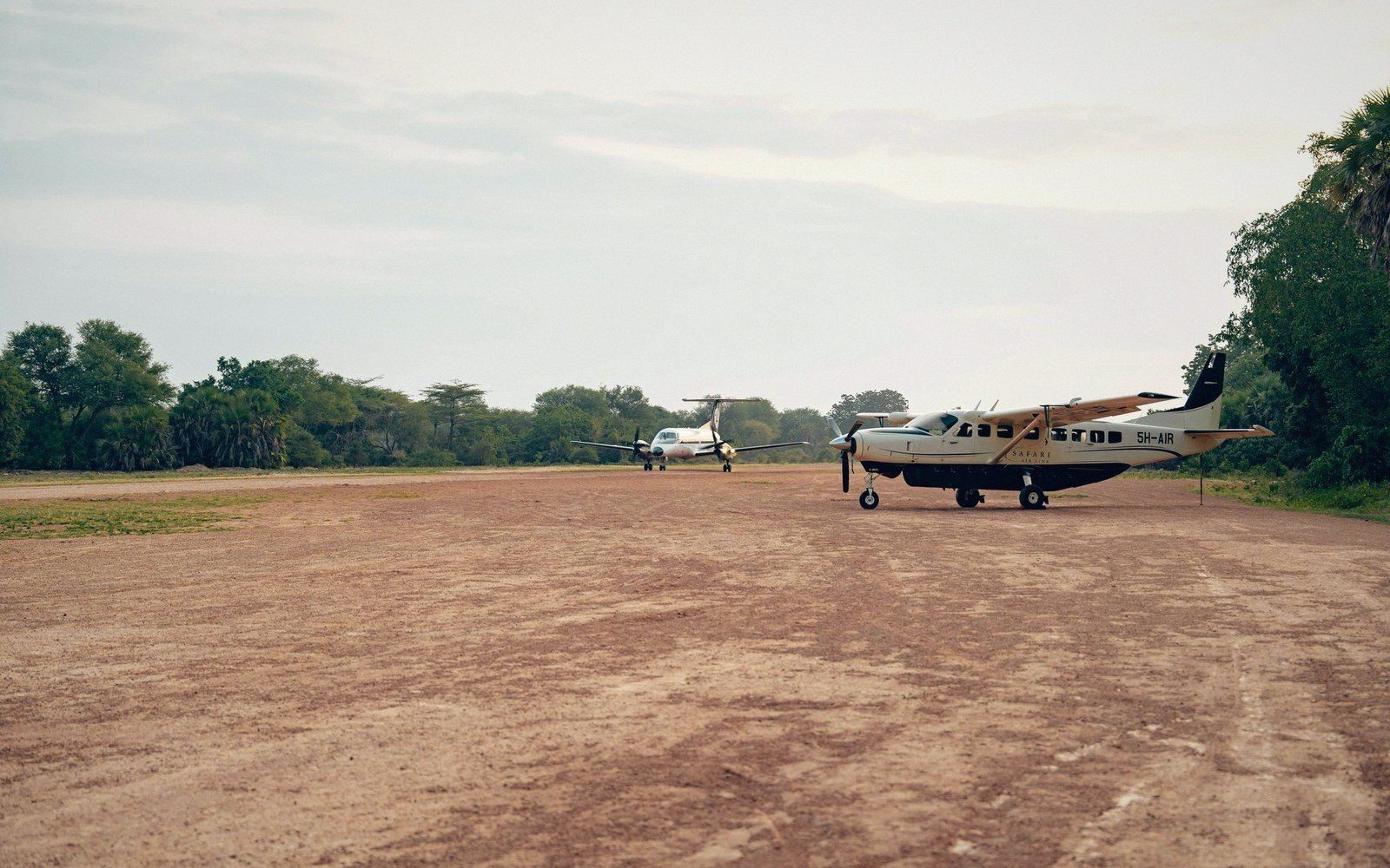
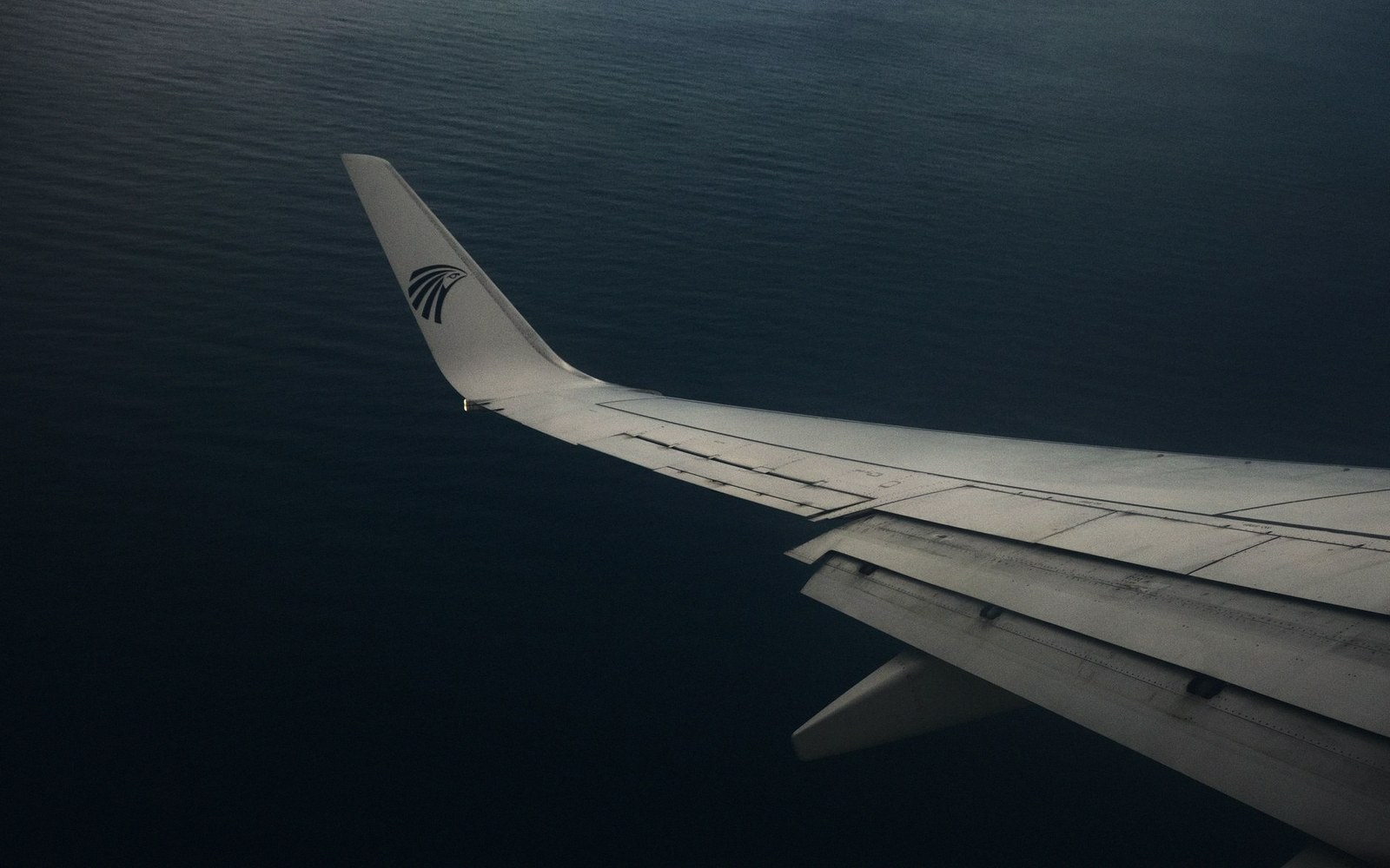
Flights, and Why They Are Not the Answer
Air links between groups, the runway constraints on small atolls, and why distance in Kiribati is measured in days rather than hours. No schedules quoted — they change.
The Country That Moved the Date Line
Kiribati straddles 180 degrees, and in 1995 the line was redrawn so the whole country shared one date. What that solved and what it means for anyone reading a map.
Distances That Do Not Look Like Distances
Why a map of the Pacific systematically understates how far apart these islands are, and what the real spacing does to daily life.