The Road Is a Causeway
On South Tarawa, the main road runs along causeways that connect a chain of islets — and that engineering decision has consequences the tide makes visible every month.
01How the Chain Was Stitched Together
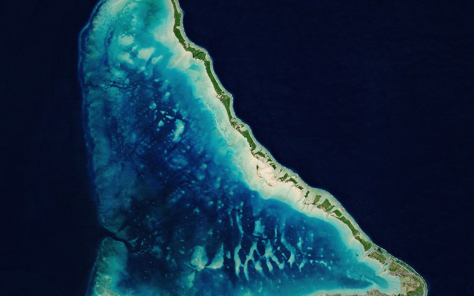
South Tarawa is not one island. It is a string of islets — motu, in the Gilbertese term for the individual strips of land that sit on an atoll rim — each one a narrow ridge of coral rubble and sand, separated from its neighbours by shallow reef channels. Before the twentieth century, movement along the atoll meant boats: short crossings, but crossings nonetheless.
The causeways came in stages. The first and most strategically significant crossing was at Betio, at the western end of the chain, where a causeway was built during the Japanese occupation in the early 1940s and subsequently developed under British colonial administration. Further causeways followed through the postcolonial decades, stitching Betio to Bairiki, Bairiki to Bikenibeu, and extending the road progressively eastward toward Bonriki, where the international airport sits. Today the main road runs almost the full length of South Tarawa — roughly thirty kilometres from Betio to Bonriki — with a significant gap still remaining at the eastern end, where the channel between Bonriki and the more sparsely settled islands further along the atoll has not been bridged.
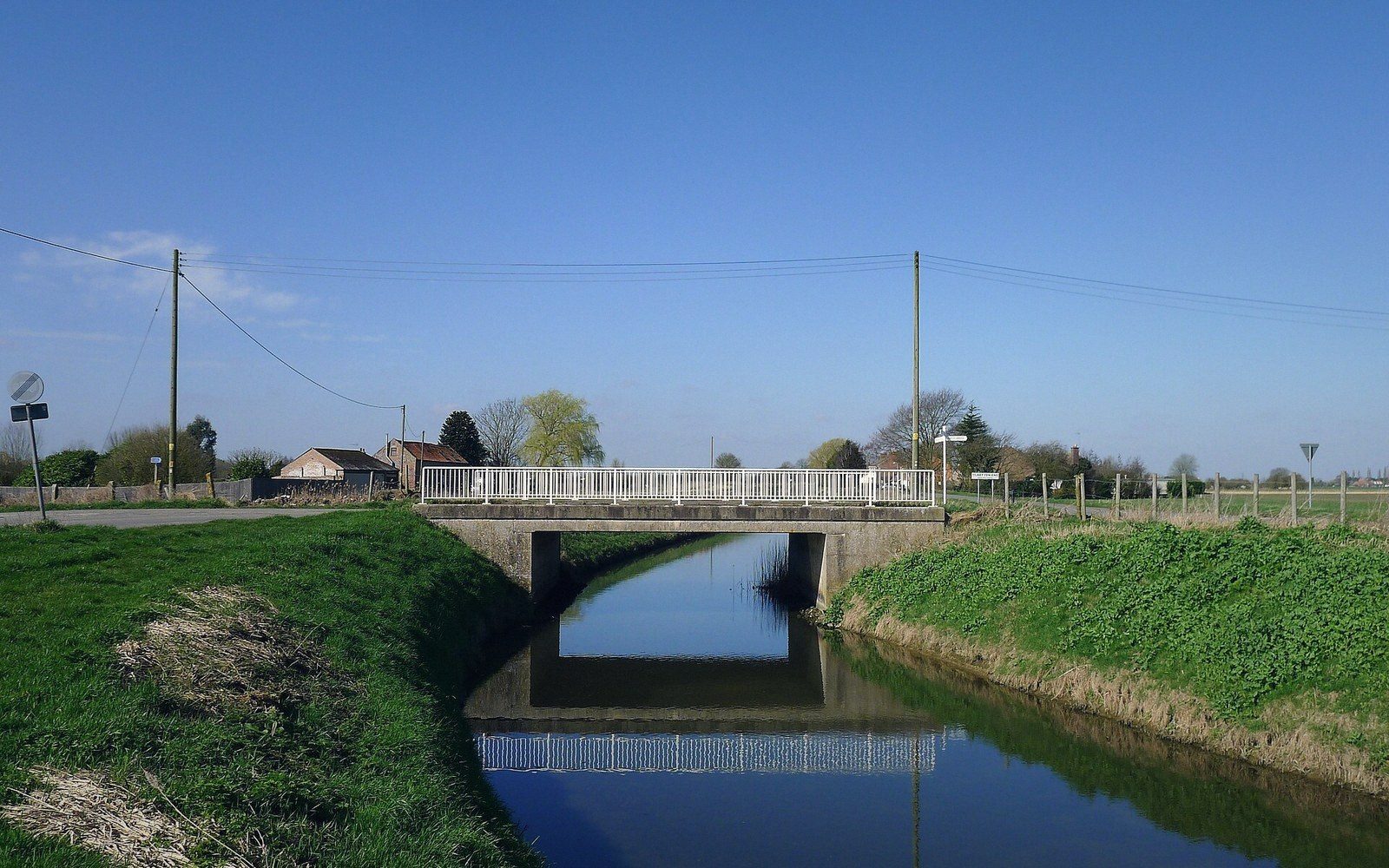
The result is a road that, on a map, looks continuous. On the ground, it repeatedly crosses water: causeways of compacted coral fill topped with concrete or gravel, low and flat, the lagoon visible on one side and the ocean side close on the other.
02What a Causeway Does to the Water
A motu channel is not just a navigation gap. It is a breathing passage for the lagoon: water moves in and out through every opening in the atoll rim, driven by tides, wind and the pressure difference between the ocean and the enclosed lagoon. When a solid causeway replaces an open channel, that passage closes.
The lagoon is a system in the genuine sense — circulation, sediment movement, flushing of nutrients and waste all depend on water moving freely through reef passages. Each causeway built across a natural channel reduces that flow. Across the decades, as more islets were joined, the cumulative effect became measurable: slower flushing in certain sections of the South Tarawa lagoon, higher concentrations of organic matter, and deteriorating water quality in the areas most densely surrounded by population. The lagoon immediately adjacent to Betio — the most built-up and heavily populated part of the atoll — shows this most clearly. Waste that once dispersed more readily now lingers longer.
This is not a reason the causeways should not exist. South Tarawa holds roughly half of Kiribati's entire national population in a space a visitor from almost any other country would consider astonishing: tens of thousands of people on land strips that are rarely more than a few hundred metres wide. The causeways are essential infrastructure in a place where density makes a functional road network a matter of basic welfare. The point is that every causeway is also a hydrological intervention, and its effects accumulate.
03What the Tide Reveals
The road's vulnerability becomes visible during king tides — the extreme high tides that, even without a storm, overtop the lowest sections of the causeways. At these moments the road floods. Water moves across the surface in a thin sheet, or in places swamps the verge entirely. Traffic slows or stops. Residents detour where detours exist, or wait.
King tides have always occurred. What is changing is their relationship to baseline sea level: as mean sea level rises, the same tidal peak reaches further and lingers longer. Sections of causeway that flooded rarely now flood more often. The distinction between a passable road and an impassable one narrows. This is not a future projection — it is an observation people living on South Tarawa have made within living memory.
The freshwater lens beneath each islet faces analogous pressure: saltwater intrusion driven by the same tidal incursion that floods the road. Infrastructure and hydrology here are not separate problems. They are the same problem expressed in different materials — one in coral fill and asphalt, one in the thin, fragile layer of fresh water a few metres below.
The causeway road is, in this way, a compressed map of everything Kiribati navigates: practical ingenuity, cumulative environmental cost, and a future arriving incrementally, a few centimetres of tide at a time.
 Next in Getting AroundThe Ships That Do the Real WorkCopra boats and passenger ships as the actual transport network between islands, and the timetable realities of moving across an ocean-sized country.Read it →
 Flights, and Why They Are Not the AnswerAir links between groups, the runway constraints on small atolls, and why distance in Kiribati is measured in days rather than hours. No schedules quoted — they change.
 The Country That Moved the Date LineKiribati straddles 180 degrees, and in 1995 the line was redrawn so the whole country shared one date. What that solved and what it means for anyone reading a map.
 Distances That Do Not Look Like DistancesWhy a map of the Pacific systematically understates how far apart these islands are, and what the real spacing does to daily life.