The Freshwater Lens
01The thin layer everything depends on
An atoll sits at sea level in the middle of the ocean. No river feeds it, no mountain stores snowmelt, no deep aquifer runs below. And yet, if the island is wide enough and the rain frequent enough, there is fresh water — a thin floating body, concealed within the coral sand and rubble of the island itself, resting on top of the seawater that saturates everything beneath. This is the freshwater lens, and understanding it means understanding why life on a coral atoll is always negotiating with the sea.
The physics are straightforward. Fresh water is slightly less dense than salt water. When rain falls on an atoll, part of it runs off or evaporates, but a portion infiltrates the porous ground and accumulates in the spaces between sand grains and coral rubble. Because it is lighter than the salt water already filling those same pores, it floats. The result is a convex body of freshwater — widest in the middle, thinning toward both the ocean coast and the lagoon shore — floating within the island's substrate like a lens held between two fingers. Below it, the salt water of the surrounding ocean presses in from every side and from the deep. Above it, the surface offers direct exposure to contamination.
The lens is fed only by rainfall. On a high volcanic island, a catchment area of hills and valleys collects and concentrates precipitation into streams. On an atoll, the entire surface is the catchment, and the ground that stores the water is rarely more than a few metres thick before hitting the brackish transition zone where fresh water grades into salt. The Ghijben-Herzberg principle — the same principle described for coastal aquifers worldwide — applies here in its most precarious form: for every metre of freshwater lens above mean sea level, roughly forty metres of lens extend below. On an atoll whose interior ground might sit two metres above the tide, the mathematical maximum depth of the lens runs to tens of metres, and in practice far shallower, because the island's porous substrate allows constant mixing at the boundary.
02Geometry, contamination and the limits of what a lens can give
The shape of the lens matters enormously, and the shape depends on the shape of the island. A narrow islet — a strip of land fifty metres across — can barely sustain a lens at all. The fresh water leaks sideways faster than rain can replenish it. A wider island, several hundred metres across, holds a more robust body; the wider the land, the deeper the lens can develop. This is why the geometry of what an atoll actually is — not just a tropical island but a ring of thin, discrete islets around a lagoon — determines the water security of every community on it. Most of the land in Kiribati is narrow. Most lenses are thin.
Human extraction can destroy a lens quickly. Dig a well and pump hard, and the fresh water is removed faster than rain replaces it. The boundary between fresh and salt water rises. Salt infiltrates. The lens, which took years to build, can be salinised in a matter of weeks. Over-extraction is not a hypothetical failure mode; it is a recurring one on densely populated islets throughout the Gilbert Group. South Tarawa concentrates tens of thousands of people on a narrow strip of land, and the demand placed on the underlying lens long ago exceeded what the rainfall-fed system can reliably sustain. Centralised groundwater extraction points, called well fields, draw from the lens at scale, and the system requires careful management to avoid drawing the saltwater boundary upward permanently.
Contamination from above is as serious a risk as over-extraction from below. The lens is close to the surface. On an islet where latrines, pig pens, and waste disposal areas share the same small footprint as the water supply, the distance between pollution source and drinking water can be measured in metres rather than kilometres. Faecal contamination has historically been a documented problem wherever population density has exceeded what the land's sanitation infrastructure can absorb. Saltwater intrusion and bacterial contamination are different problems with different causes, but both arrive through the same shallow, porous ground.
Then there is the sea itself, arriving not slowly through osmosis but suddenly in the form of storm surge. When waves overtop an atoll's rim — an event not uncommon during La Niña-driven high swells or a direct cyclone — the surge floods the interior and the lens. Salt water introduced this way mixes with and contaminates the fresh water below. Recovery takes months of rainfall and drainage. In the meantime, the community has no usable well water. This is not a future scenario under changed conditions; it has happened repeatedly across the Pacific, and it adds a dimension to what sea-level rise means for a country with almost no elevation that goes beyond simple inundation: a lens that is damaged more frequently than it can recover is, effectively, a lens that no longer exists.
03Rainwater as infrastructure
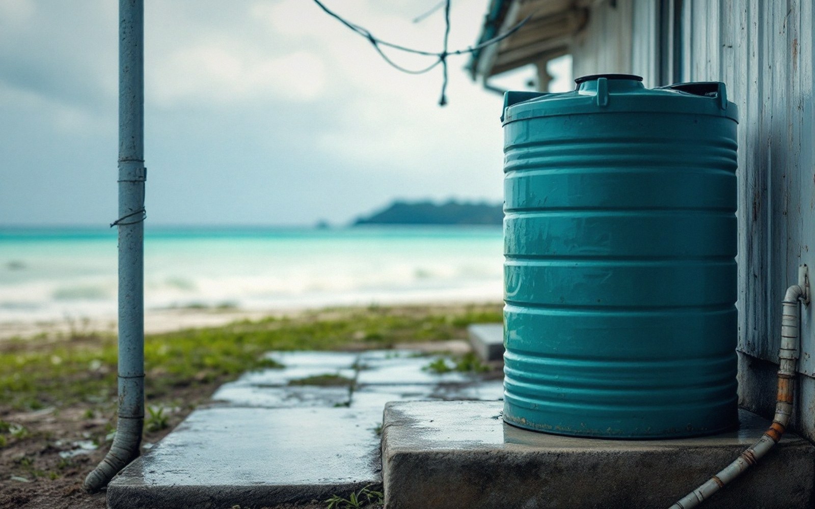
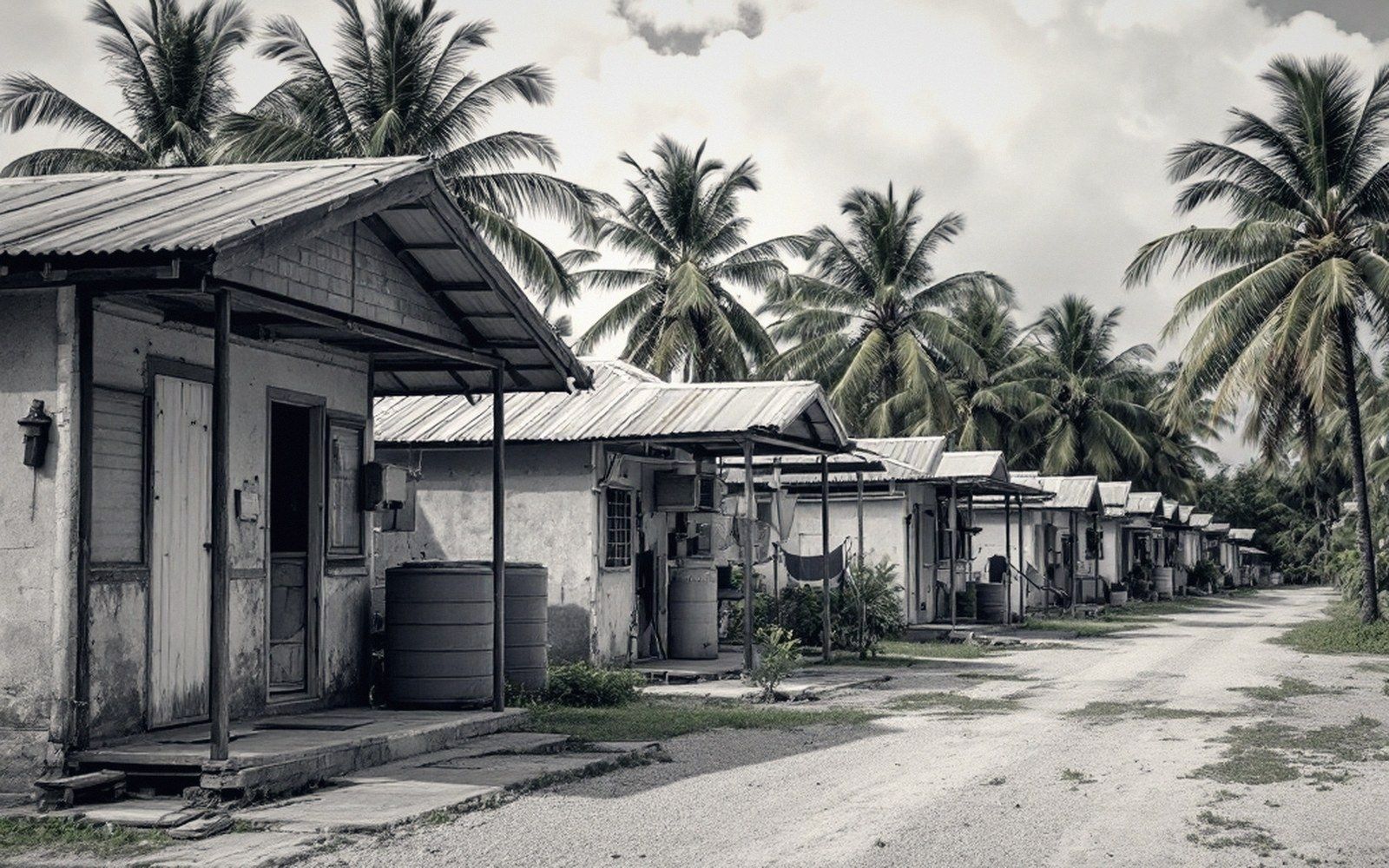
Because the lens is fragile, rationed, and intermittent in the communities that depend on it, rainwater harvesting is not a backup system. It is a primary one. Corrugated iron roofs connected to gutters and storage tanks are a deliberate piece of water infrastructure, not an incidental feature of housing design. Families and institutions alike size their tanks against the rainfall patterns of their island and the number of people they must supply. In the outer islands of Kiribati, where reticulated water systems do not exist, a household's tank capacity and the state of its roof gutters are a direct measure of water security.
Drought compounds every pressure on the lens. Kiribati lies within a region strongly influenced by El Niño–Southern Oscillation cycles. In La Niña years, rainfall across the Gilbert Islands can fall sharply and for extended periods. The lens, already thin, shrinks. Tanks run dry. Communities that had been managing within the margin find themselves outside it. Relief water shipments to outer islands have been a documented response during severe drought years, with inter-island vessels carrying precisely the kind of load that no one designing a shipping schedule for a functioning system would expect to need. The dependence on rain is total; the variability of rain is intrinsic.
Understanding the freshwater lens reframes what appears, from the outside, to be a simple tropical living situation. The coconut palms, the reef fish, the warm lagoon — the visible surface of an atoll — rest on an invisible and surprisingly delicate hydraulic system. Get the engineering wrong, crowd the islet beyond its carrying capacity, allow the sea to overtop the rim too many times, or simply lose a few rainy seasons to a climatic cycle, and the thing that makes the atoll habitable disappears beneath your feet. The lens is not a given. It is a balance, maintained by rain, geometry and restraint, and it is the first thing that goes.
 Next in Living With the SeaThe Highest Ground Is a Few MetresWhat sea-level rise means for a country with almost no elevation: inundation, salt intrusion into the lens, coastal erosion, and the difference between the headline and the mechanism. Factual, without doom framing or greenwash.Read it →
 Copra Holds the Outer Islands TogetherDried coconut as the outer islands' cash crop: how it is produced, how it is shipped, and the role it plays in keeping remote populations viable.
 Migration With DignityThe national policy of building skills so that if people must move, they move as sought-after migrants rather than as refugees. Explained as policy, not as prophecy.