What an Atoll Actually Is
01The Geometry Beneath Everything
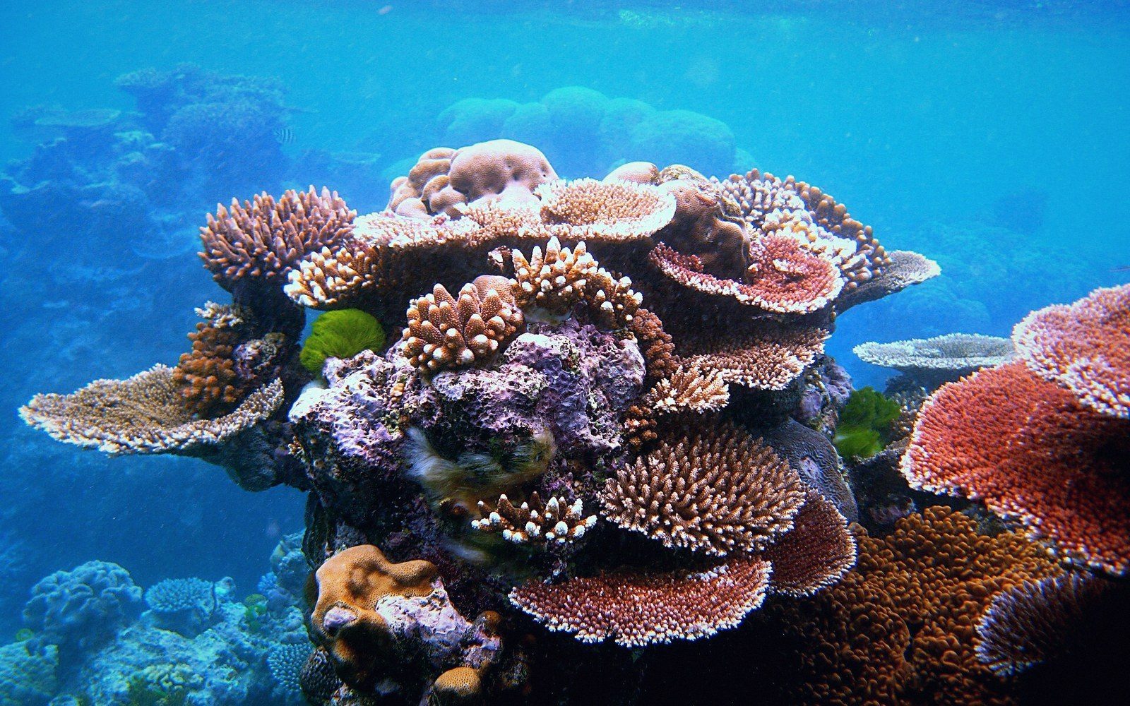
An atoll begins with a volcano. Not the dramatic cone rising from blue water that the word "volcano" tends to summon, but one already on its way down — cooling, contracting, pulled slowly beneath the ocean's surface by the weight of its own basalt and the drift of the tectonic plate it rides. Charles Darwin worked this out in 1842, before anyone could verify the seafloor: as the volcanic island sinks, the coral reef that grew around its shoreline keeps pace, building upward toward the light it needs to survive. The island disappears. The reef remains. What is left is a ring.
That ring is not solid. It is a coral-built structure of extraordinary complexity — reef flat, reef crest, cemented rubble — and it is interrupted by passages, called channels, where ocean water pushes through into the enclosed water body at the centre. That water body is the lagoon. The lagoon is not simply a swimming pool enclosed by reef; it is a circulation system, exchanging water with the open ocean through those channels, supporting its own ecology of fish, coral, and sediment, running at depths that can exceed fifty metres while the land around its edges barely clears the tide. The geometry of the whole — ring of reef, ring of islets, open or semi-enclosed water — is what the word "atoll" describes, borrowed into English from the Dhivehi word atholhu, the language of the Maldives.
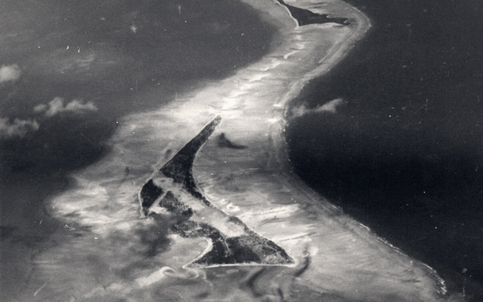
The islets themselves — called motu in many Pacific languages, though in Kiribati the more common term is simply the island's individual name — do not sit on the submerged volcanic base. They sit on the reef. They are built from it: coral rubble, sand, and the compressed remains of marine organisms deposited by wave and storm over centuries. They are not a remnant of anything that was there before. They are additions, accumulated on top of a living reef platform. This origin explains almost everything about what life on an atoll is actually like.
02The Constraints That Come With the Shape
An islet built from reef material has no bedrock. Beneath the coral sand and rubble, the reef limestone continues downward, and below that, far down, the basalt of the volcanic base — but none of this is accessible in any practical sense. Foundations go into consolidated coral sediment, not rock. The material can shift; it compacts; during large storm events, waves can deposit new rubble or remove existing land altogether. An atoll is geologically young and in permanent, slow negotiation with the sea.
The elevation is the defining constraint. Most islets in Kiribati reach between two and four metres above mean sea level at their highest — and most of that height is concentrated in a ridge running along the ocean-facing side, where wave energy has thrown up material over time. The lagoon-facing edge tends to sit lower. The result is that habitable ground is not just rare in an absolute sense; it is patterned. Settlements, gardens and infrastructure cluster where the land is highest and widest, which on a narrow islet may mean a strip only two or three hundred metres from ocean to lagoon on either side.
Beneath that strip, fresh water sits in a lens. Rain falls, percolates through the porous coral rock, and because fresh water is less dense than salt water, it floats — precariously — above the saline water that saturates the rock from below. This lens is thin, easily disturbed, and sensitive to both the width of the islet and the amount of rainfall. Dig a well too deep, pump too fast, or put a causeway in the wrong place, and salt intrudes. On a narrow islet after a dry season, the lens may be barely enough. It is the only natural fresh water the island has.
The reef that holds all of this together is not inert infrastructure. It is a living system, and its health governs the islet's survival in a direct physical sense. Coral builds carbonate material; that material, broken by waves, becomes the sand and rubble that maintains and can even extend the land surface. A reef that is degraded — by bleaching, by warming, by ocean acidification, which reduces the seawater's carbonate saturation and makes it harder for coral to calcify — produces less of this material. The replenishment slows. The islet, no longer being added to at the same rate, becomes more vulnerable to erosion and to overwash during storms.
03Why This Is Not a Stable Problem
Sea-level rise on an atoll is not simply a matter of water rising until it covers the land, though that is the eventual arithmetic. The more immediate mechanisms are less visible and in some ways more insidious. Higher sea levels push the saline water table upward inside the reef material, which compresses the freshwater lens from below. Storm waves that previously broke harmlessly against the reef crest reach further inland as the crest itself is inundated for longer. The land surface, made of porous material with no clay layer, cannot hold runoff — it passes straight through — so the issue is not flooding in the conventional sense but saturation, salt contamination, and structural undermining.
The geometry of the atoll means there is no retreat to higher ground within the island. The highest point is already occupied. On many outer islands, the community is already living on the most elevated terrain available. There is nowhere on the islet to move to. This is not a question of planning or engineering choices but of physics: the land simply does not rise beyond what the reef built. What this means in practice for a country where the average elevation is measured in metres rather than tens of metres is a problem without a domestic engineering solution.
Understanding what an atoll is — genuinely, structurally — reframes almost every question that gets asked about Kiribati. Why does the country have an exclusive economic zone vastly larger than its land area? Because the islets are scattered across three million square kilometres of ocean, and maritime boundary law gives each of them its radius of jurisdiction. Why is fresh water rationed and managed so carefully? Because the only supply is a thin lens of rain perched in porous rock. Why does so much inter-island travel still depend on ships as well as flights? Because the islets are narrow and low, airstrips take up a great deal of scarce land, and ships carry cargo that planes cannot. Why does a storm in the central Pacific appear on the front page of international newspapers when its direct effects are modest by Atlantic hurricane standards? Because on an island with three metres of clearance, a surge of one metre is not a minor inconvenience.
The atoll is not a landscape of limitation in the pejorative sense — it is a landscape with a specific logic, one that Kiribati and I-Kiribati communities have read and adapted to across many centuries. The geometry is simply the starting point. Everything else follows from it.
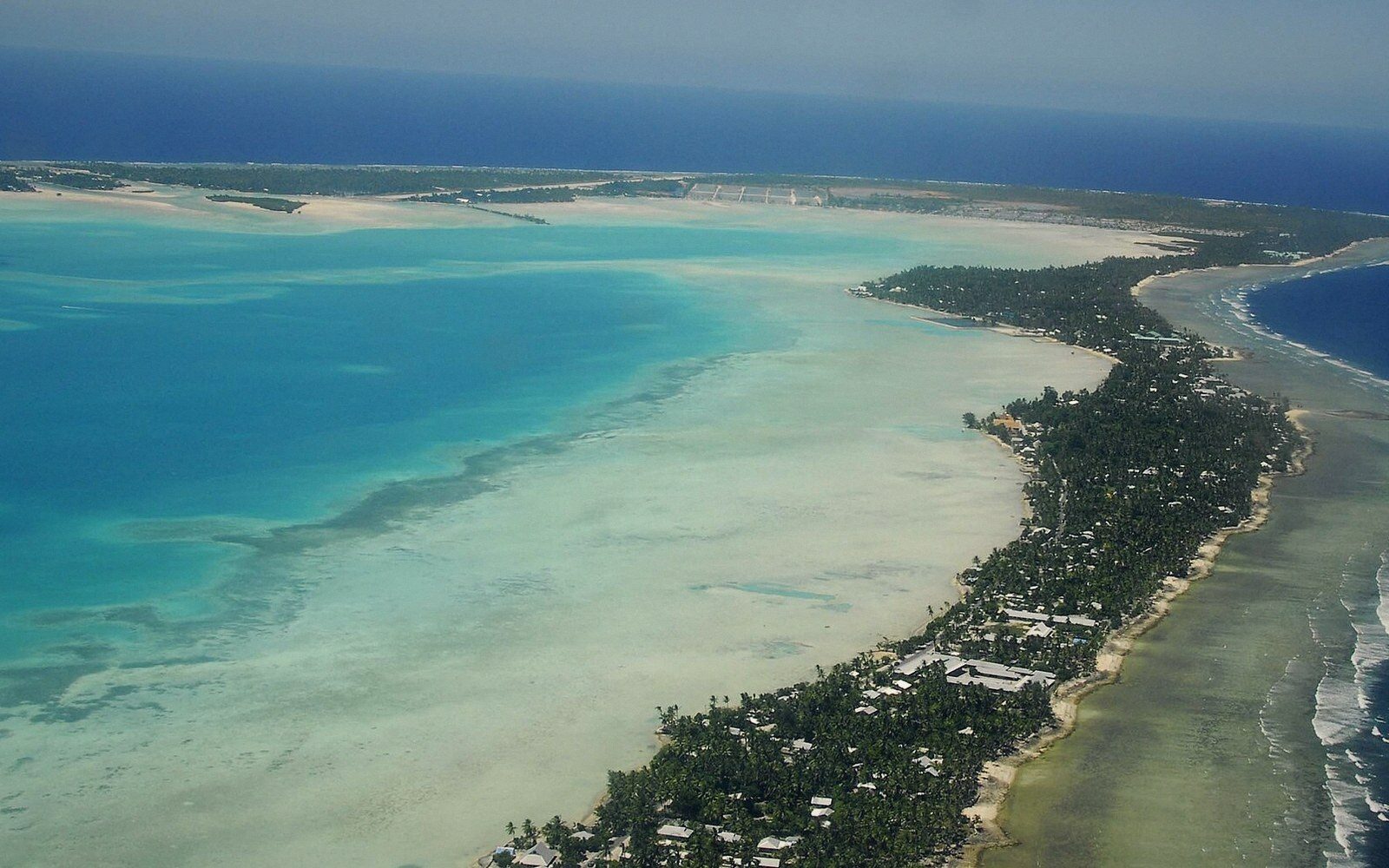 Next in The AtollsTarawa, and the Density Nobody ExpectsThe capital atoll: the string of islets joined by causeway, the population concentrated on South Tarawa, and the infrastructure consequences of putting a capital on a strip of coral a few hundred metres wide.Read it →
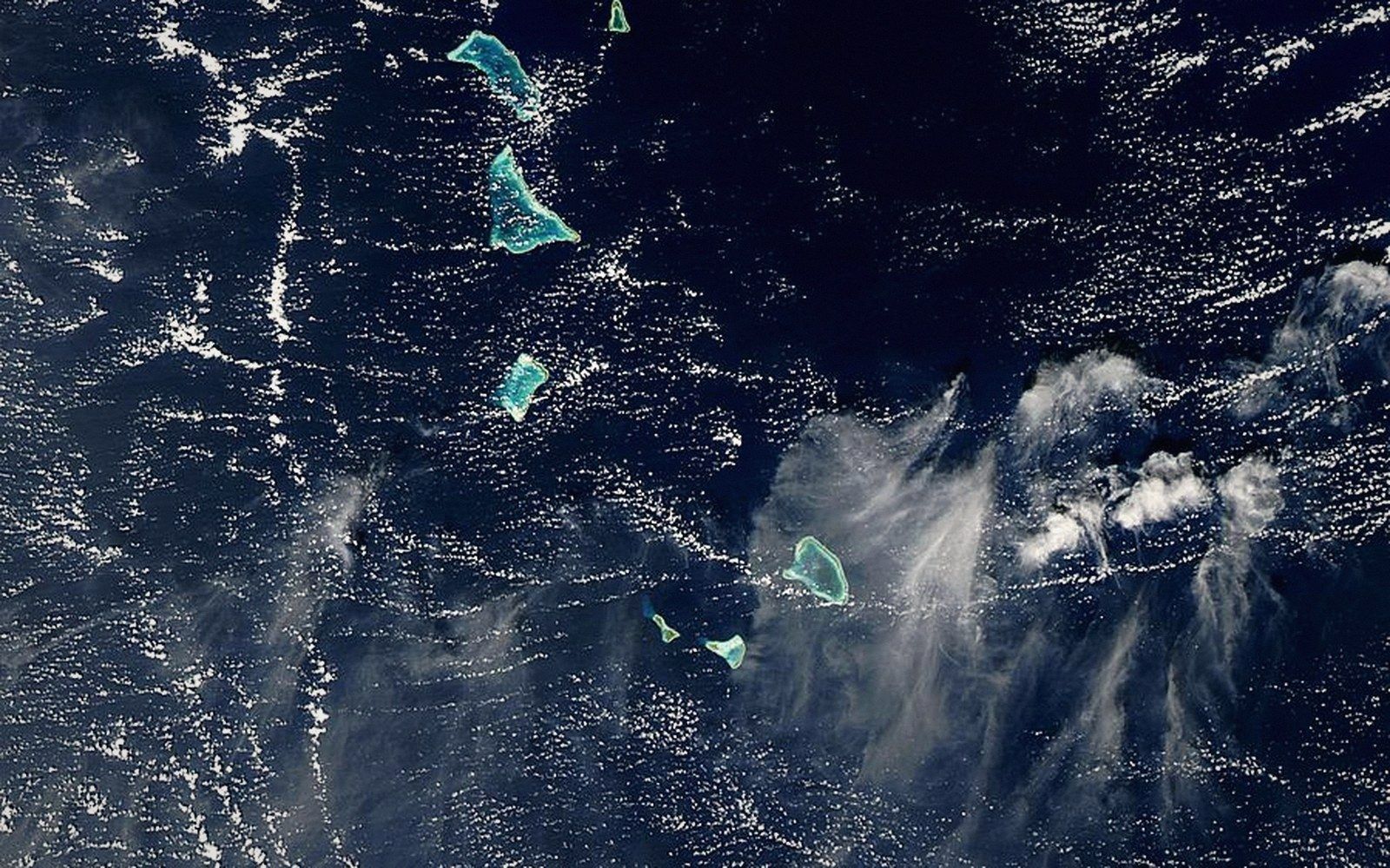 The Gilbert GroupThe sixteen islands of the western group, their spacing, and why they hold most of the country's people.
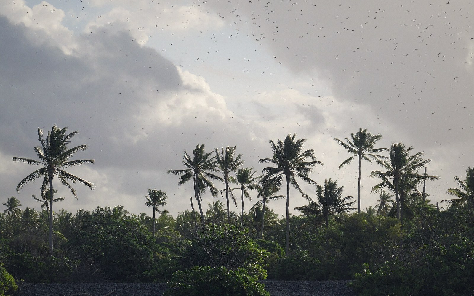 The Line and Phoenix IslandsThe eastern and central groups — mostly uninhabited, enormously distant, and the reason the country's map is mostly water.
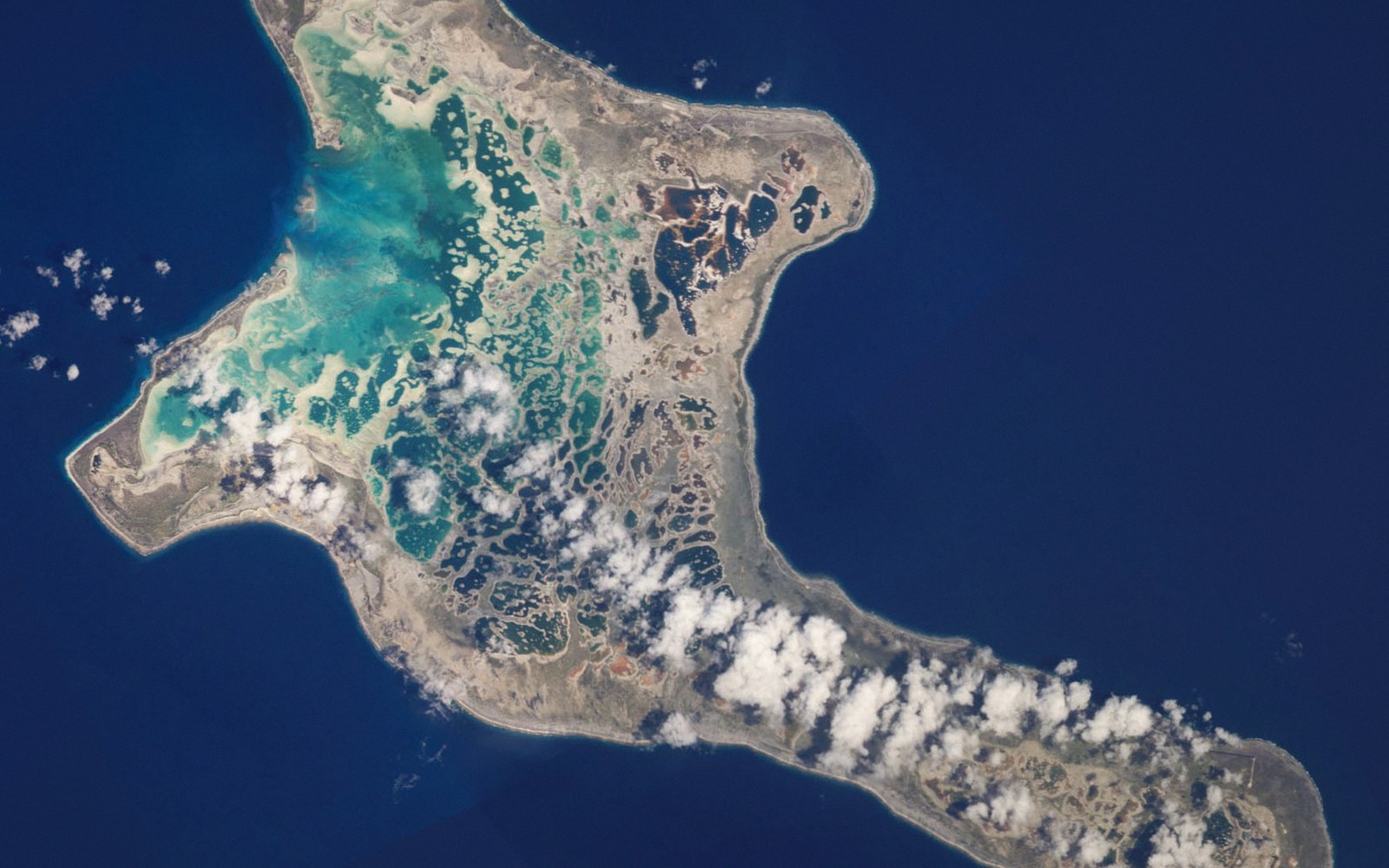 Kiritimati Is the Largest Atoll on EarthChristmas Island by land area, its lagoon system and salt flats, its bird populations, and the nuclear testing history that sits in its record.