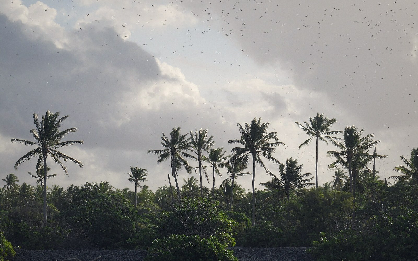
The Line and Phoenix Islands
Two island groups that explain why Kiribati is a country of ocean rather than land
01The Edges of the Map
Pull back far enough on any map of Kiribati and the scale becomes disorienting. The Gilbert Group — where most of the population lives — occupies the western arc. Then comes a long, empty stretch of ocean. Then the Phoenix Islands, a cluster of eight low atolls and reefs near the equator. Then more ocean, and finally the Line Islands, strung north to south across and beyond the international date line, nearly three thousand kilometres from Tarawa. Together, these two groups contain a fraction of the national population but account for most of Kiribati's extraordinary breadth.
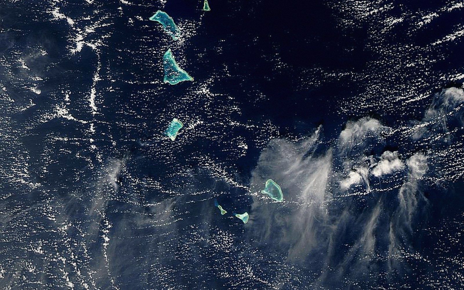
The Phoenix Group sits roughly in the centre of the country's span. Most of its islands are uninhabited. Kanton (also written Canton), the only one with any permanent population, served as a refuelling stop for transpacific aviation in the late 1930s and 1940s and retains a ghostly infrastructure — runways, anchorages, concrete buildings — from that brief moment of strategic importance. Orona, Manra, and McKean are entirely empty, and have been for decades. The group became significant for reasons of ecology rather than habitation: the Phoenix Islands Protected Area, established in 2008 and expanded since, covers the surrounding ocean and ranks among the largest marine protected areas on earth. The reefs here are some of the least disturbed in the central Pacific, though they are not immune to bleaching.
02The Line Islands: Distance as the Main Fact
The Line Islands are harder to hold in the mind as a coherent group because they are not coherent — they are a chain stretched across seventeen degrees of latitude, and the inhabited ones are far apart even from each other. Kiritimati, known internationally as Christmas Island, is by far the largest atoll on earth by land area. To the north of it, Tabuaeran (Fanning Island) and Teraina (Washington Island) are small, permanently inhabited, and connected to the rest of Kiribati by a supply network that operates on island time rather than a commuter's schedule.
Further south, Millennium Island (Caroline Island) and Starbuck, Malden, Flint, and Vostok are uninhabited. Millennium Island briefly held a particular symbolic charge: when Kiribati redrew the international date line in 1995 to bring its eastern islands into the same calendar day as the west, Caroline Island was renamed to mark the event, sitting almost exactly on the line of 150 degrees west. It was the first land on earth to enter the year 2000. That gesture of national continuity — refusing to have a country that inhabits two different days simultaneously — had real administrative logic beneath the symbolism.
The Line Islands generate most of Kiribati's land area. They also lie within Kiribati's exclusive economic zone in waters that are productive for tuna, which means they contribute — through the geometry of maritime entitlement rather than through population — to the tuna and licence economy that funds a significant share of the national budget.
What both groups share is absence. Almost nobody lives there permanently, no road connects them, and the inter-island ships reach them infrequently. Their value is ecological, strategic, and jurisdictional — expressed in ocean rather than in settlement. That is not a failure of development. It is the actual shape of the country. Kiribati's territory is defined less by where people live and more by which ocean it has a legitimate claim to govern. The Line and Phoenix islands are the reason that claim extends across roughly 3.5 million square kilometres of Pacific Ocean — a number that, even in a part of the world where distances routinely defy intuition, is genuinely difficult to absorb.
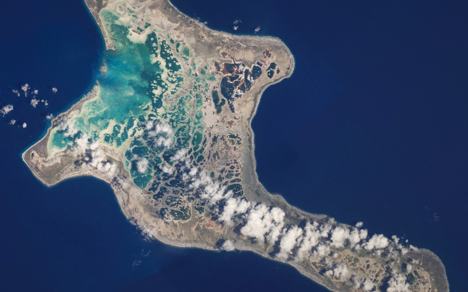 Next in The AtollsKiritimati Is the Largest Atoll on EarthChristmas Island by land area, its lagoon system and salt flats, its bird populations, and the nuclear testing history that sits in its record.Read it →
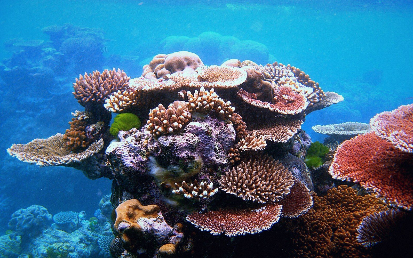 What an Atoll Actually IsA ring of reef and islets around a lagoon, built on a subsided volcanic base. The geometry explained properly, because it governs everything downstream — where fresh water sits, where a house can stand, why the land is never more than a few metres up.
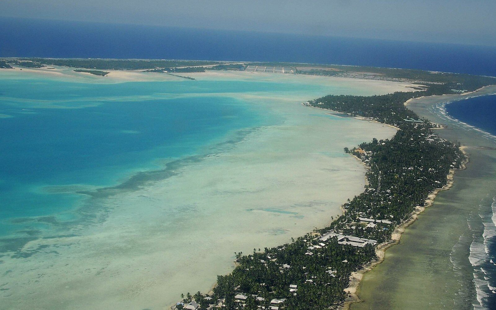 Tarawa, and the Density Nobody ExpectsThe capital atoll: the string of islets joined by causeway, the population concentrated on South Tarawa, and the infrastructure consequences of putting a capital on a strip of coral a few hundred metres wide.
 The Gilbert GroupThe sixteen islands of the western group, their spacing, and why they hold most of the country's people.