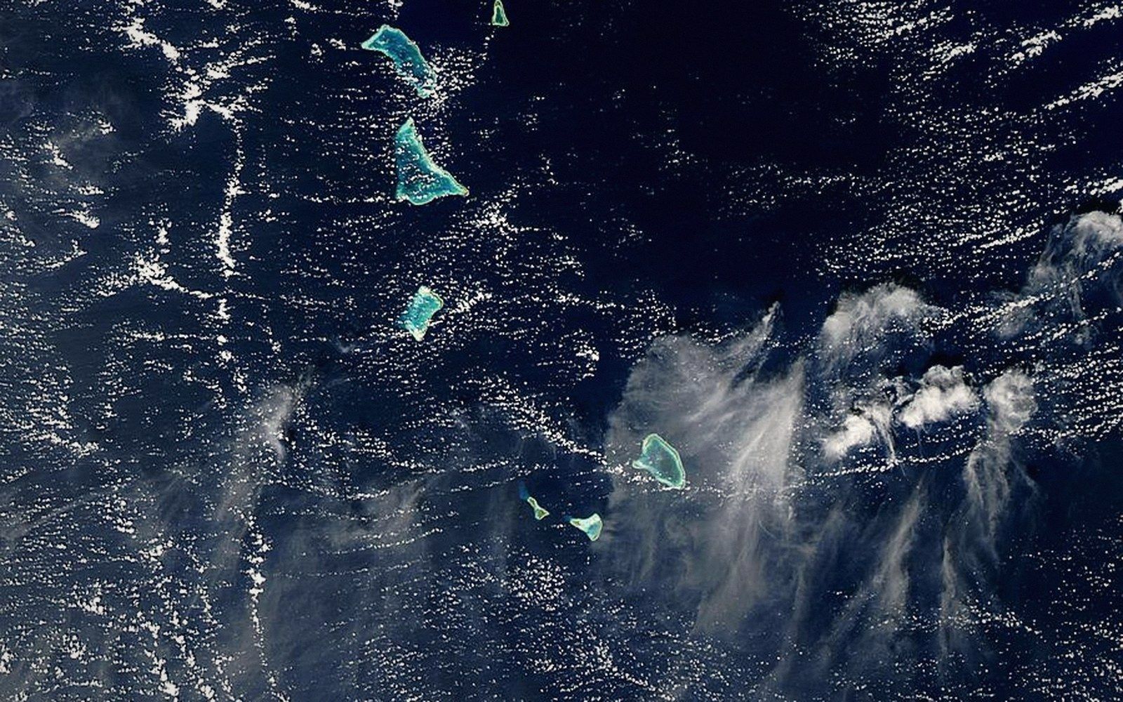
The Gilbert Group
Sixteen atolls spread across about six degrees of latitude, holding nearly all of Kiribati's people in a thin corridor of the central Pacific.
01A Country's Western Half
The Gilbert Group is where Kiribati concentrates. Sixteen atolls and reef islands arranged roughly north to south from about three degrees north to about three degrees south, they span roughly 700 kilometres from the northernmost island, Makin, to the southernmost, Arorae. It is not a compact chain — crossings between neighbouring atolls commonly run 50 to 150 kilometres of open ocean — but by Kiribati's own standards of spread, this is the neighbourhood.
The geography is simple in outline. Each island is a true atoll: a ring of low reef and sandy islets encircling a lagoon, built on the eroded remains of a subsided volcanic seamount. The platform that supports each one sits in shallow tropical water, which is why the reef grows; the volcano itself disappeared long ago. Across all sixteen, the highest land rarely exceeds three metres above mean sea level, and much of the habitable ground is closer to two. That is not a dramatic reading on a map. It is decisive for how people live.
02Where the People Are
Roughly 90 percent of Kiribati's entire population lives in the Gilbert Group, and of those people, a disproportionate share lives on Tarawa. South Tarawa — the islets along the lagoon's southern edge, linked by causeway — holds more people per square kilometre than many cities. The outer Gilberts are genuinely sparse by comparison, though all of them are inhabited. Butaritari, Makin, Abaiang, Marakei, Abemama, Nonouti, Tabiteuea, Beru, Nikunau, Onotoa, Tamana and Arorae each carry their own communities, their own councils, their own rhythms of copra production and lagoon fishing.
The reasons population clusters here rather than in the Line or Phoenix groups are practical. The Gilberts lie in the westernmost part of the country, closer to Fiji, Australia and the broader Pacific rim; colonial administration fixed itself at Tarawa; services, government and the only genuinely urban environment followed. Inter-island shipping and the occasional air link still tie the outer Gilberts to the capital, but the connections are infrequent and dependent on sea conditions. People move to South Tarawa when they need education, medical care or paid work, and many do not move back.
03The Northern and Southern Islands
The group has a loose internal structure. The northern islands — Makin, Butaritari, Marakei, Abaiang, Tarawa, Maiana — sit just above or just below the equator, where rainfall is comparatively reliable. Butaritari is notably wetter and greener than islands to the south, with breadfruit and taro cultivation that is harder to sustain elsewhere in the chain. Lagoon systems in the north tend to be larger.
The central and southern islands grow progressively drier as they extend south. Abemama has a historical resonance out of proportion to its size: the Scottish writer Robert Louis Stevenson stayed there in 1889, and the chiefly traditions of the island were already old when he arrived. Tabiteuea, one of the larger atolls by land area in the group, is actually two separate administrative islands — North Tabiteuea and South Tabiteuea — divided by a gap in the reef. Arorae, at the southern end, feels remote even by Gilbertese standards.
The freshwater situation tightens as the islands become drier. Each island hosts a freshwater lens — rain-derived water floating above the denser saltwater within the porous reef rock — but the lens is thin, vulnerable to drought, to overwash during storm surges, and to over-extraction as populations grow. On South Tarawa, the lens has been under sustained pressure for decades.
04What Holds the Group Together
The Gilbertese language, te Kiribati, is spoken across the group with variations in dialect but with mutual intelligibility. The maneaba — the traditional meeting house, open-sided and built to a specific geometry — is present on every island and remains the forum for community decision-making. The form of the building and the protocols that govern speaking within it carry forward social structures that predate any colonial presence.
The Gilbert Group is not a single place so much as an agreement between sixteen islands that they belong to the same story. The ocean between them is not a barrier to that story; it is the medium through which it has always been conducted.
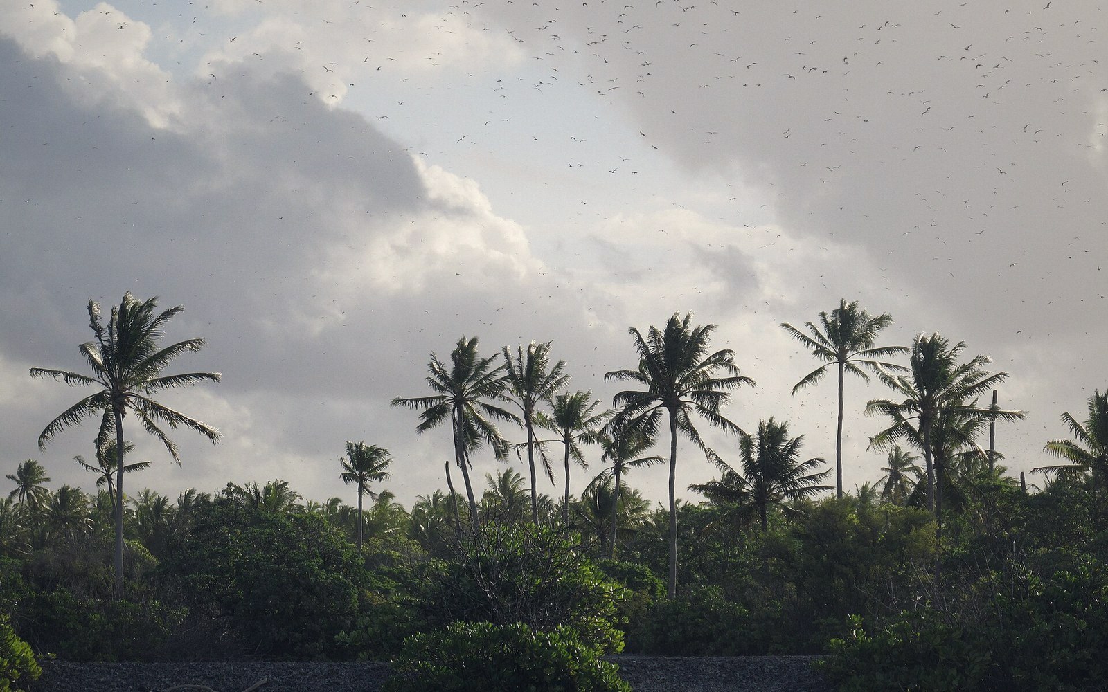 Next in The AtollsThe Line and Phoenix IslandsThe eastern and central groups — mostly uninhabited, enormously distant, and the reason the country's map is mostly water.Read it →
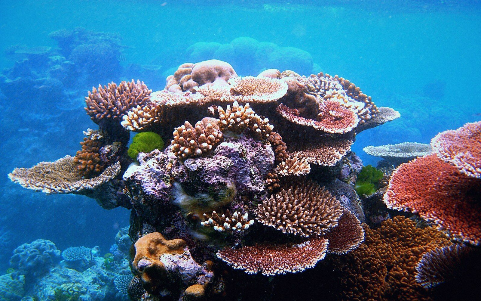 What an Atoll Actually IsA ring of reef and islets around a lagoon, built on a subsided volcanic base. The geometry explained properly, because it governs everything downstream — where fresh water sits, where a house can stand, why the land is never more than a few metres up.
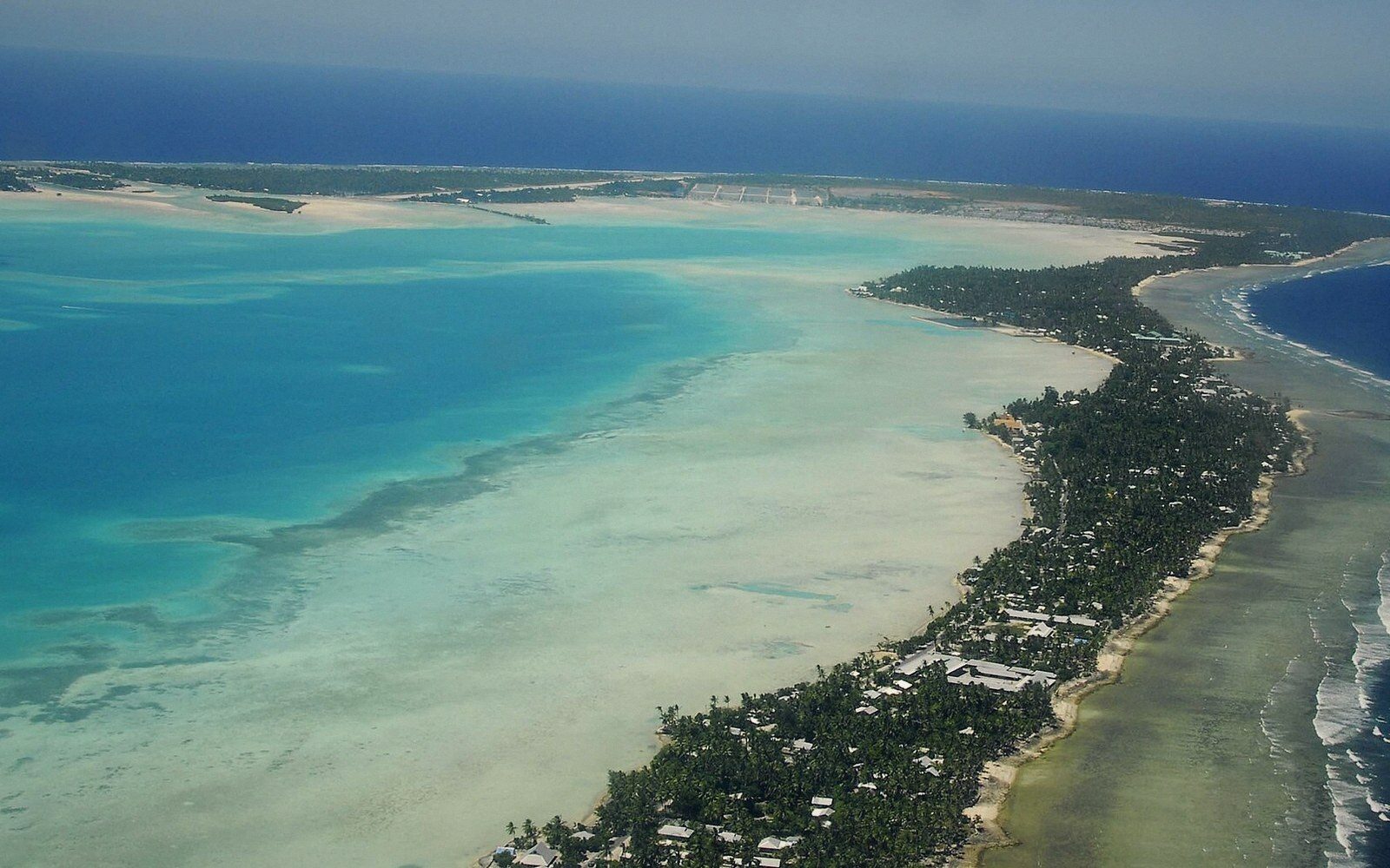 Tarawa, and the Density Nobody ExpectsThe capital atoll: the string of islets joined by causeway, the population concentrated on South Tarawa, and the infrastructure consequences of putting a capital on a strip of coral a few hundred metres wide.
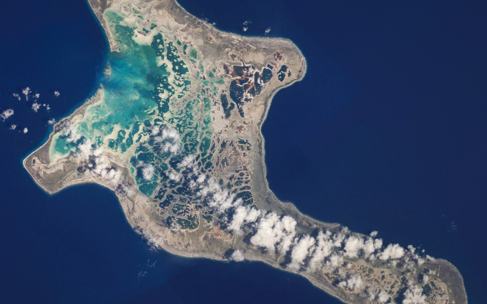 Kiritimati Is the Largest Atoll on EarthChristmas Island by land area, its lagoon system and salt flats, its bird populations, and the nuclear testing history that sits in its record.