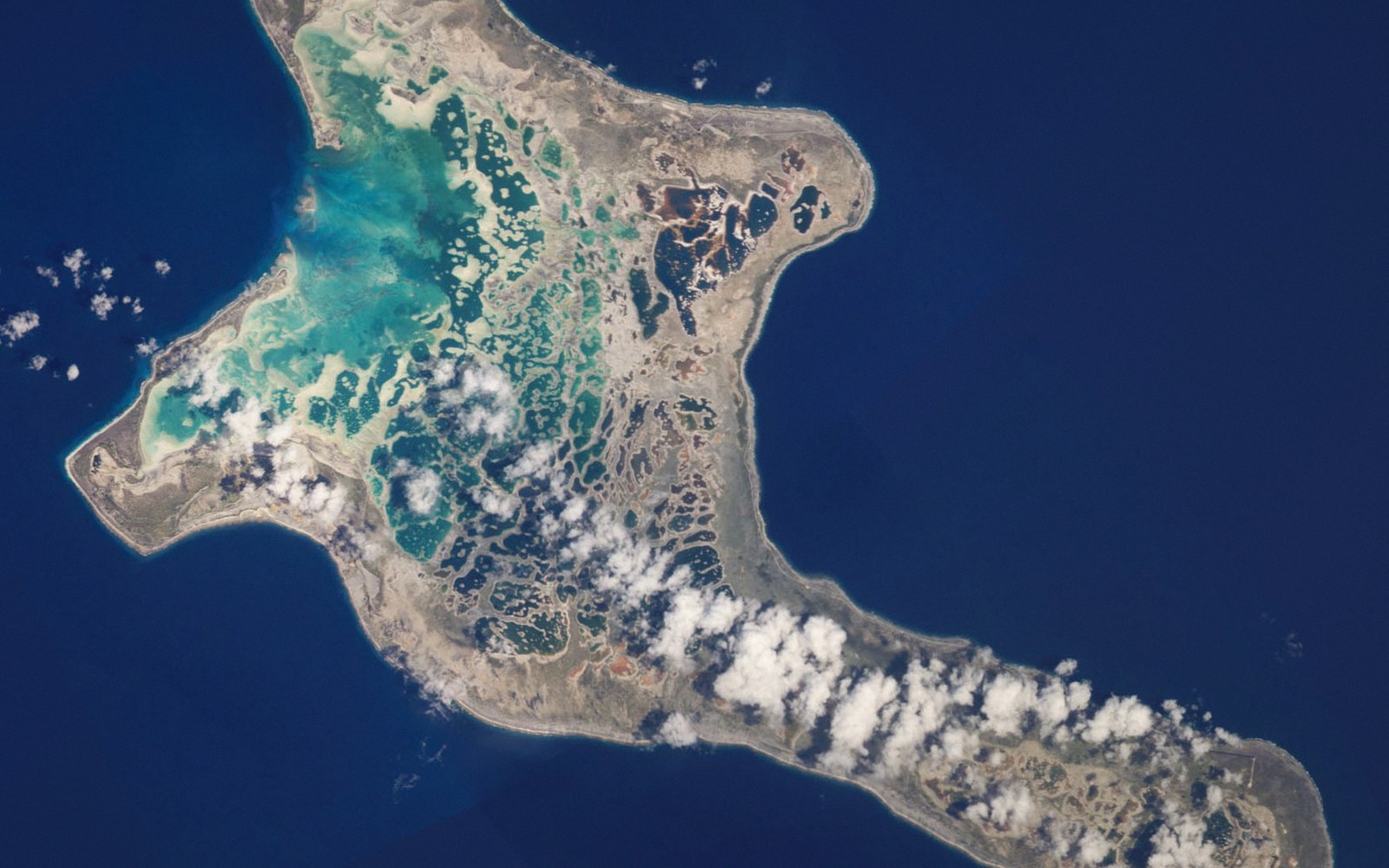
Kiritimati Is the Largest Atoll on Earth
An atoll holds about half of all the land in Kiribati — and carries one of the Pacific's more uncomfortable histories.
01The Scale of the Thing
Most atolls are narrow. A strip of land wide enough to hold a road and a few rows of houses, a reef, a lagoon — the whole cross-section measurable in tens of metres. Kiritimati (pronounced Kirismas, the Gilbertese rendering of "Christmas") breaks that pattern entirely. It covers roughly 388 square kilometres of land — about half of Kiribati's total land area — which makes it not just the country's largest island but the largest atoll by land area on earth.
The reason for the scale lies in geology and time. The volcanic base beneath Kiritimati subsided slowly enough, and reef accretion kept pace well enough, that vast amounts of coral rubble and sediment built up into something genuinely terrestrial rather than merely emergent. The result is an atoll that looks, on a map, less like the classic ring of islets and more like a continental-shelf fragment — a squat, rounded mass with an irregular coastline and interior that feels, improbably, like land with some depth to it.
That interior is dominated not by a single lagoon but by a complex of enclosed and semi-enclosed water bodies. The central lagoon is large but shallow and poorly flushed; around and within it lie smaller lagoons, salt flats and evaporation pans, some of them hyper-saline and coloured pink or red by halophilic algae. The circulation and biology a lagoon supports depend on tidal exchange through passages in the reef, and where those passages are narrow or absent, the chemistry shifts toward conditions that exclude most marine life but suit a handful of specialists. Kiritimati's salt flats are that specialisation taken to its extreme.
02Birds, and What They Mean
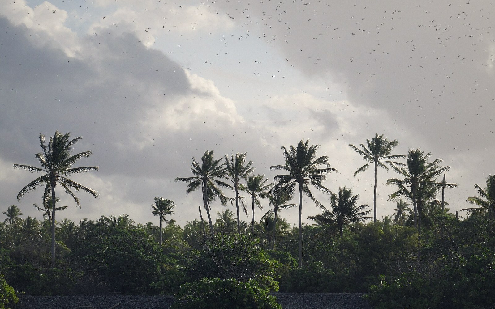
If there is one thing that defines Kiritimati to the ecologist, it is birds. The island supports one of the largest seabird colonies in the world: great and lesser frigatebirds, red-tailed tropicbirds, Polynesian storm petrels, and enormous congregations of sooty terns and Christmas shearwaters. The frigatebird population alone runs into hundreds of thousands of breeding pairs. The combination of undisturbed nesting ground, proximity to productive ocean and the sheer area of the island's interior make it a site of genuine global significance.
The bird populations were not always secure. Introduced rats and cats did substantial damage across the twentieth century, and the human settlement at London — the island's administrative centre — brought cats in numbers sufficient to devastate ground-nesting colonies in adjacent areas. Conservation work has reduced feral predator populations in parts of the island, though complete eradication across an area this large remains difficult.
03The Testing Record
Kiritimati's name in British colonial records is Christmas Island, and it is that name that appears in the nuclear testing literature. Between 1957 and 1958, the United Kingdom conducted a series of high-yield thermonuclear weapons tests above and near the island — Operation Grapple X and related tests — making it the site of Britain's most powerful nuclear detonations. The United States followed with further tests in 1962 under Operation Dominic.
The tests were conducted with British and Commonwealth service personnel stationed on the island and, subsequently, American military personnel. Veterans of both programmes have since pursued compensation claims, citing radiation exposure; the epidemiological record remains contested, and neither the British nor the American government has acknowledged a settled liability. The I-Kiribati population at the time was small and largely concentrated in specific areas, and there is no complete record of their exposure.
The infrastructure those programmes required — airstrips, roads, storage facilities — left Kiritimati with a physical base that subsequent civilian settlement has built upon. London, Tabwakea and Banana are the main settlements today, and the island supports a small but growing population engaged in fishing, copra and government work. The airstrip that was cut for military logistics now handles the flights that connect Kiritimati to Tarawa and, intermittently, to Honolulu — distances that are genuinely enormous even before runway constraints are factored in.
The island remains at once the most substantial piece of land in Kiribati, an ornithological site of world importance, and a place where the Cold War left evidence still visible in concrete foundations near the coast. That combination — ecological richness and a weapons-testing record — sits in the same landscape without apology.
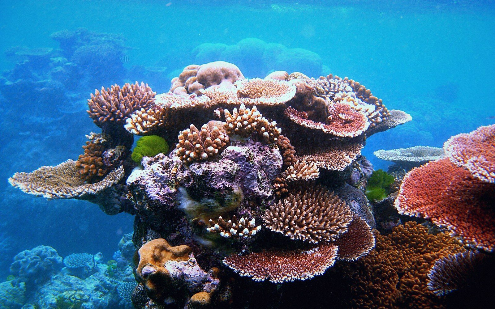 Next in The AtollsWhat an Atoll Actually IsA ring of reef and islets around a lagoon, built on a subsided volcanic base. The geometry explained properly, because it governs everything downstream — where fresh water sits, where a house can stand, why the land is never more than a few metres up.Read it →
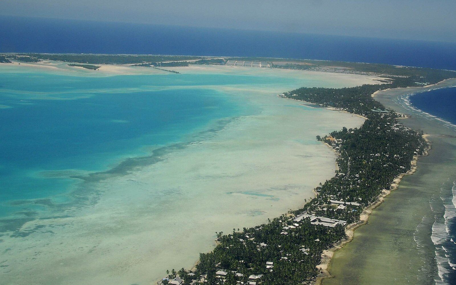 Tarawa, and the Density Nobody ExpectsThe capital atoll: the string of islets joined by causeway, the population concentrated on South Tarawa, and the infrastructure consequences of putting a capital on a strip of coral a few hundred metres wide.
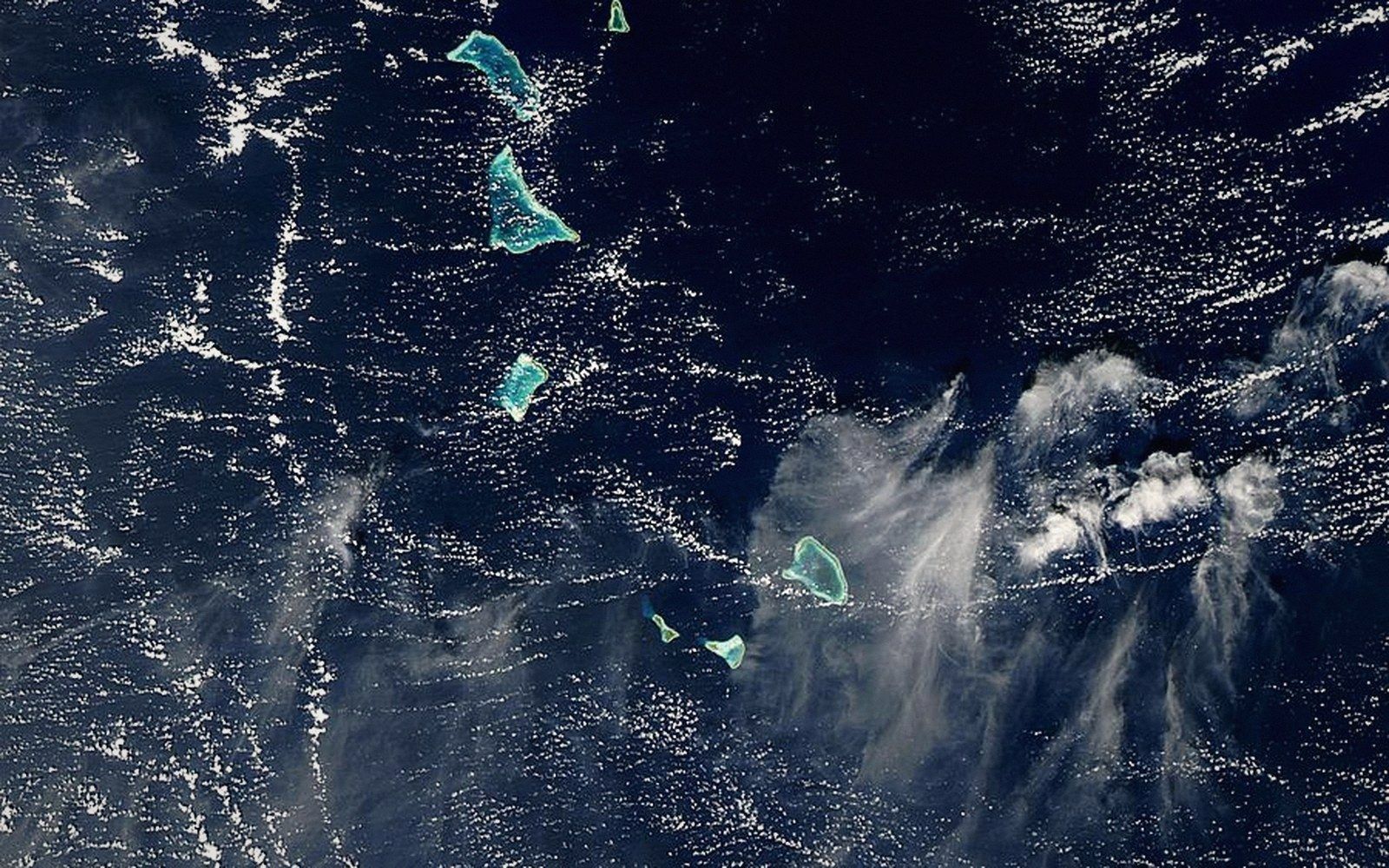 The Gilbert GroupThe sixteen islands of the western group, their spacing, and why they hold most of the country's people.
 The Line and Phoenix IslandsThe eastern and central groups — mostly uninhabited, enormously distant, and the reason the country's map is mostly water.