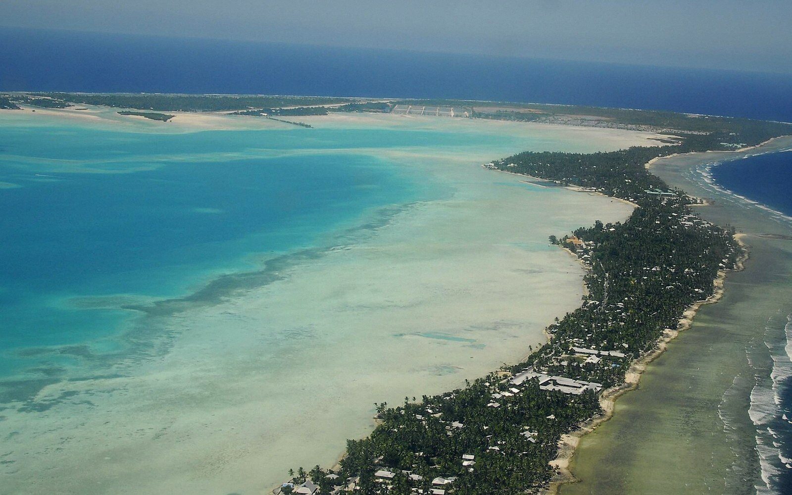
Tarawa, and the Density Nobody Expects
A capital strung across a necklace of coral islets, South Tarawa packs the population of a small city onto land that never exceeds a few hundred metres in width.
01The Shape of the Place
Tarawa is not an island. It is an atoll — a roughly triangular ring of reef enclosing a lagoon — and the land itself is a chain of narrow islets threaded along that reef. The northern and western rim of the lagoon is almost entirely water, reef, and tiny uninhabited motus (islets). The habitable part, South Tarawa, runs along the southern edge: a succession of islets from Betio in the southwest to Tanaea in the east, linked by reef flat or, where the connections were once open water, by causeways built across the lagoon passages.
The shape matters because it determines everything else. The widest any of these islets gets is perhaps four hundred metres, and much of the built-up area is considerably narrower. From the air, South Tarawa looks like a green thread stitched along the curve of the atoll, with the wide turquoise lagoon to the north and the open Pacific beating against the ocean side to the south. It looks serene. On the ground, it is one of the most densely populated places in the Pacific.
Tarawa's population is not enormous by world standards, but it is concentrated to a degree that disguises itself on a map. More than half of Kiribati's entire population lives on South Tarawa — in a country that spans more ocean than the continental United States. The islets that make up South Tarawa have a combined land area of roughly sixteen square kilometres. Into that strip are packed hospitals, government ministries, the national university, the single international runway at Bonriki, schools, markets, a shipping harbour at Betio, and the homes of tens of thousands of people. The density that results is comparable to some of the most crowded urban environments on earth, not as an abstraction but as a physical fact you encounter crossing Bairiki on a weekday morning.
02Why Everything Ends Up Here
The concentration has a colonial logic behind it. Under the Gilbert and Ellice Islands Colony, Tarawa was designated the administrative centre, and British institutions — courts, a hospital, a radio station, schools — were built there. When independence came in 1979, the infrastructure was already rooted. A new nation inherits what it has, and what Kiribati had was a small capital on a narrow strip of reef. The ministries, the bank, the better-equipped clinic, the secondary schools: all were in South Tarawa. So the outer islands, which between them hold the majority of the country's land area and a minority of its population, began sending their children to school in Tarawa, and some of those children stayed.
Internal migration from the outer islands of the Gilberts has accelerated steadily. Families follow work, and work follows government. The outer islands — the atolls of the northern and southern Gilberts — are connected to South Tarawa by inter-island ships that run irregularly and by a limited air service. The journey from the far southern atolls can take several days by sea. Tarawa is where the hospital is, where the government jobs are, where mobile data is fastest and most consistent. The pull is structural, not incidental, and its consequences are written into the land.
03Infrastructure on a Strip of Coral
There is no hinterland to absorb growth. On the mainland of almost any country, a growing capital can expand its suburbs, route new roads inland, build new water infrastructure where the geology allows. South Tarawa cannot do any of this. Expand in any direction and you reach either the lagoon or the ocean. The islets are fixed in their width; the only directions that have absorbed new building are along the chain itself, and downward — toward the water table.
The freshwater situation is the most acute expression of the problem. Fresh water on an atoll floats in a thin lens above the salt water beneath, recharged by rain and held in the porous coral and sand. That lens is finite, and on South Tarawa it is under pressure from all sides: a large population drawing on groundwater wells, increasingly saline intrusion from higher tides, and the disruption caused by construction and by the causeways themselves, which change how water moves through the system. Piped water from a rainwater catchment system at Bonriki supplements wells in the more densely settled areas, but supply is intermittent and distribution uneven. Households in the denser parts of Betio and Bairiki may have access to reticulated water for only part of the day.
Sanitation follows the same geometry. The narrowness of the islets, the shallow water table, and the density of settlement make conventional sewage systems difficult to build and maintain. Pit latrines drain into the same aquifer from which many households draw water. The proximity of the lagoon to almost every part of South Tarawa means that waste — human, solid, chemical — enters the water body that the same communities fish and, in places, still use for washing. The lagoon at the western end, around Betio, receives the effluent of the most densely settled part of the entire atoll. The lagoon as a system is not infinitely absorptive, and the signs of that are visible in the water quality around the main settlements.
Housing pressure is physical and visible. Betio, the westernmost islet and the site of the main port, was the scene of the most intense combat of the Pacific war in 1943 and is now home to the densest residential settlement in the country. Plots are small, walls are close together, and the roofline is a mix of corrugated iron and traditional materials. There is essentially no undeveloped land left on Betio. Elsewhere along the South Tarawa chain — Bairiki, Bikenibeu, Teaoraereke — the picture is less extreme but follows the same logic: land is limited, tenure is complicated, and extended family arrangements mean that the same plot often shelters far more people than it was sized for.
04The Road That Holds It Together
South Tarawa has a single main road that runs the length of the settled chain, crossing the causeways between islets. It is the only road. Everything that moves on land in South Tarawa moves on this road: government vehicles, minibuses running as public transport, motorcycles, freight from the port. The causeway connections that make South Tarawa feel like a single place rather than a collection of separate islets were built incrementally from the mid-twentieth century onward, and each connection subtly changed the hydrology and the social geography. The road is both the spine of the capital and a demonstration of the constraints that govern it: it cannot be widened without pushing into the lagoon or the ocean, and there is no alternative route.
05A Capital With No Room to Spare
Sea level adds a dimension to all of this that cannot be discussed as a separate issue, because it interacts with every pressure already described. The freshwater lens thins as salt intrusion advances. Storm surges — always a risk on a low-lying atoll — now reach further inland at higher tides. The causeways and roads that sit barely above the high-water mark are periodically inundated during king tides, and the frequency of that inundation is increasing. For the outer islands this is a slow emergency, mostly invisible to the outside world. For South Tarawa, densely settled and infrastructure-dependent, the consequences of the highest ground being only a few metres above sea level are immediate and political, not hypothetical.
The government of Kiribati has had to make decisions that no government of a more fortunately situated country has been asked to make: about land purchase abroad, about the portability of statehood, about what it means to preserve a people's legal identity and sovereignty when the physical land that identity is attached to may become uninhabitable. The policy of migration with dignity — building transferable skills so that I-Kiribati can move as contributors, not as refugees — was born partly in offices on South Tarawa, on a strip of coral a few hundred metres wide, surrounded on both sides by a rising sea.
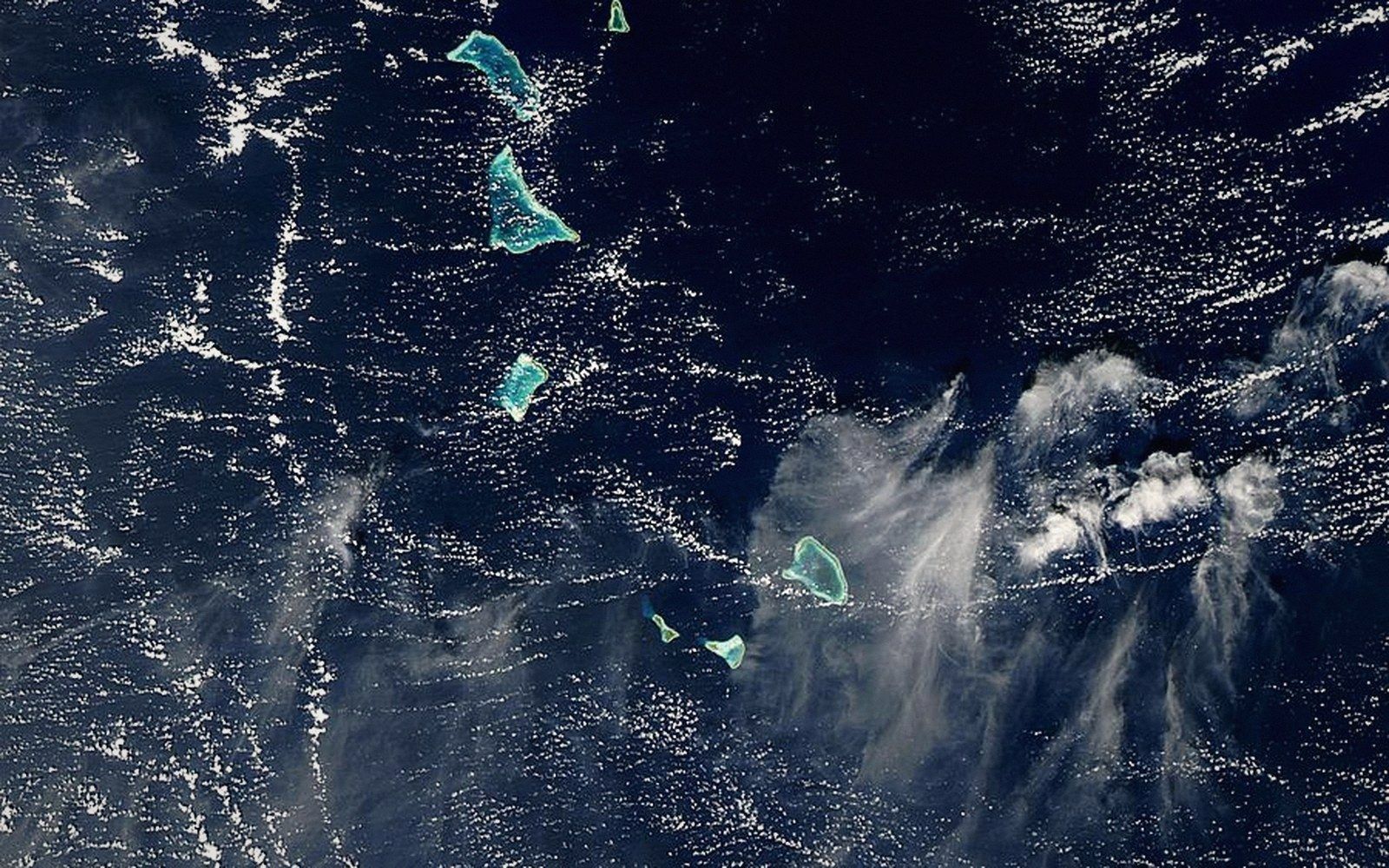 Next in The AtollsThe Gilbert GroupThe sixteen islands of the western group, their spacing, and why they hold most of the country's people.Read it →
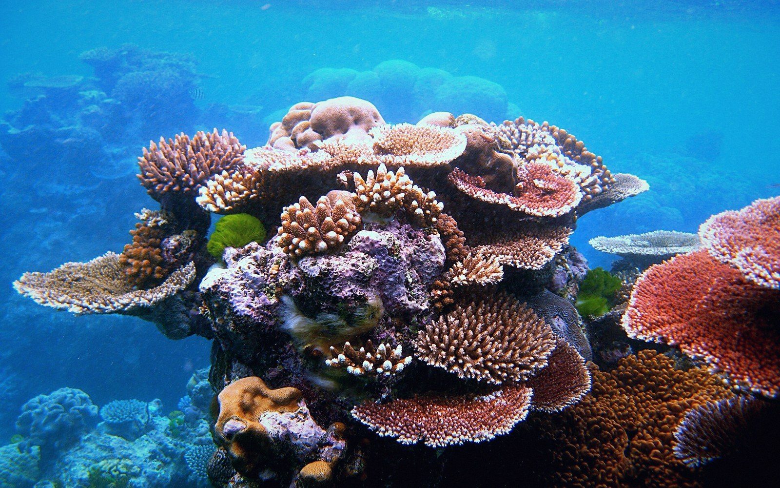 What an Atoll Actually IsA ring of reef and islets around a lagoon, built on a subsided volcanic base. The geometry explained properly, because it governs everything downstream — where fresh water sits, where a house can stand, why the land is never more than a few metres up.
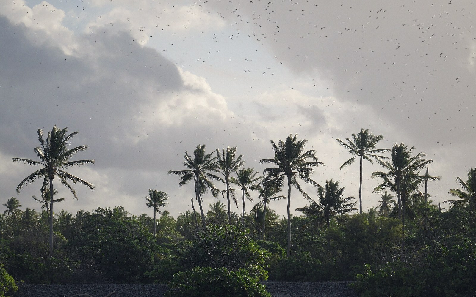 The Line and Phoenix IslandsThe eastern and central groups — mostly uninhabited, enormously distant, and the reason the country's map is mostly water.
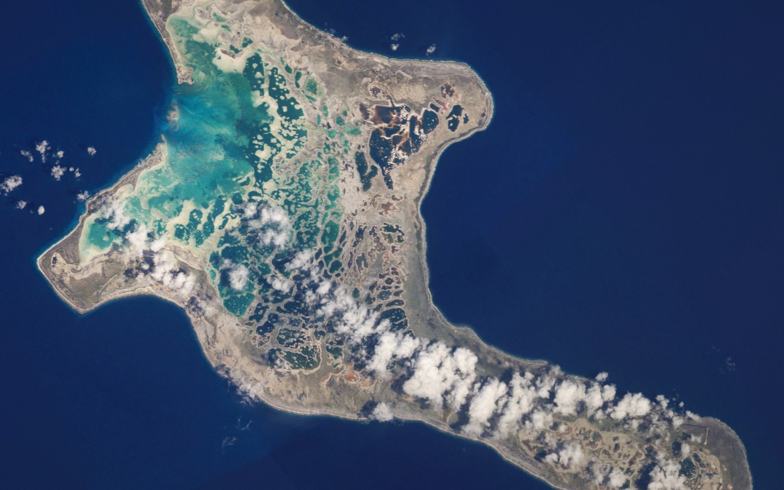 Kiritimati Is the Largest Atoll on EarthChristmas Island by land area, its lagoon system and salt flats, its bird populations, and the nuclear testing history that sits in its record.