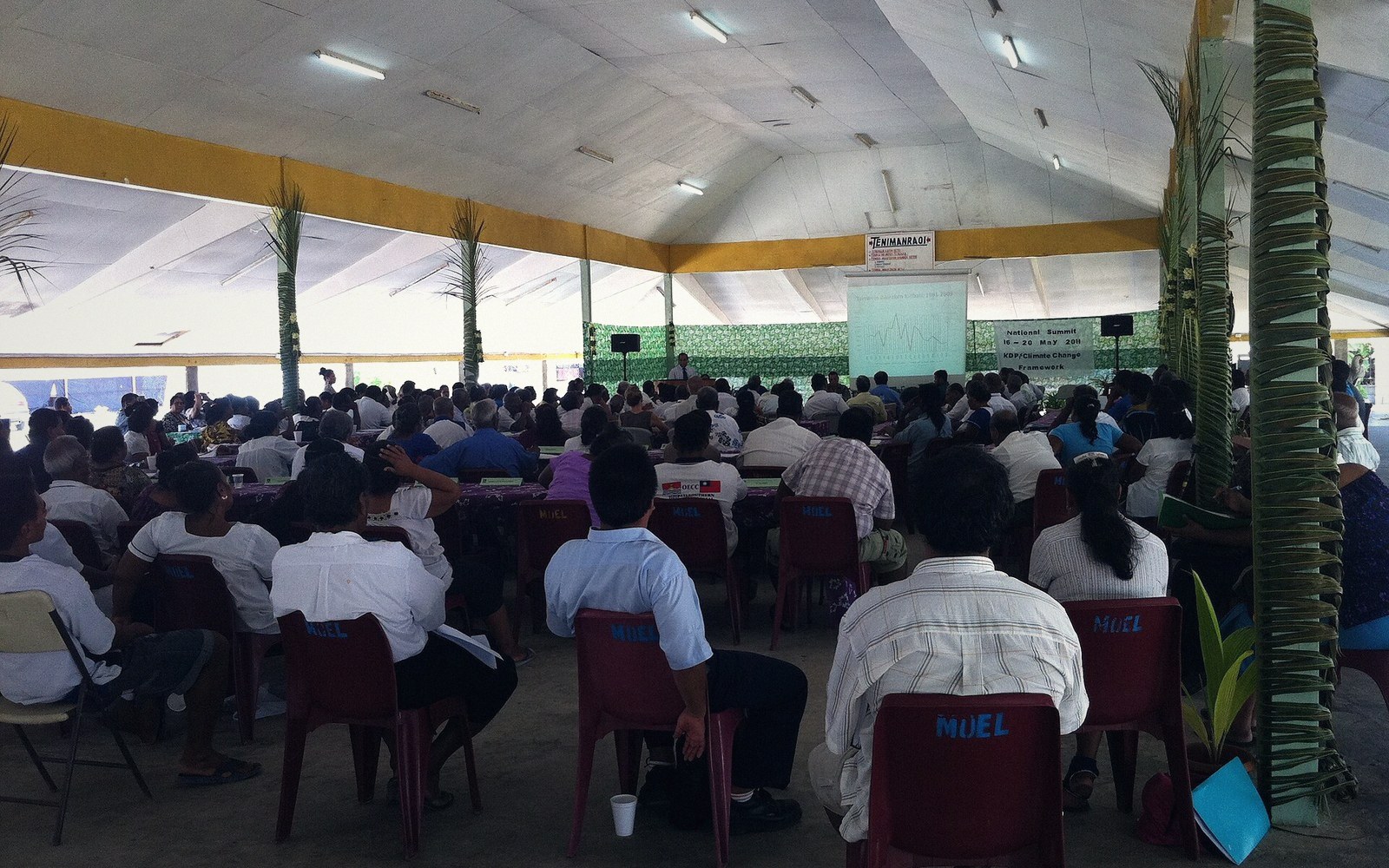
Betio, November 1943
Three square kilometres, seventy-six hours, and one of the costliest assaults of the Pacific War — the battle that made Tarawa a word Americans knew.
01The Island and What Japan Built There
Betio sits at the southwestern corner of Tarawa Atoll — a flat sliver of coral barely two kilometres long and less than a kilometre at its widest, with an elevation that rarely exceeds three metres above sea level. In early 1942, after Japan moved south and west from its earlier Pacific conquests, a garrison arrived and began to transform the island into what its commanders would later describe as impregnable. They were not entirely wrong about the defences; they were entirely wrong about the outcome.
The Japanese construction was systematic and substantial. Hundreds of bunkers, pillboxes and command posts were built from concrete, coconut logs and compacted coral, many of them thick enough to absorb direct hits from naval gunfire. A network of trenches connected strongpoints across the island. Fourteen coastal defence guns — including eight-inch guns originally captured from the British at Singapore — were positioned to cover every approach by sea. Anti-aircraft batteries, light artillery and approximately 4,500 men, mostly veteran Imperial Japanese Navy Special Landing Forces and construction troops, were dug into those few square kilometres. The garrison's commander, Rear Admiral Keiji Shibazaki, reportedly told his men that the Americans could not take Betio with a million soldiers in a hundred years. The boast reflects how genuinely formidable the position appeared.
The strategic logic was straightforward. The Gilbert Islands — of which Tarawa is one — lay on the axis of any American advance toward the Marshall Islands and eventually Japan itself. Taking the Gilberts, and the airfield Japan had built on Betio, was a prerequisite for the broader Central Pacific campaign. Operation Galvanic, the American assault on the Gilberts, had two main objectives: Makin Atoll to the north, and Tarawa.
02Seventy-Six Hours
The assault on Betio began on the morning of 20 November 1943. It did not go as planned. A prolonged naval bombardment and air strikes that morning were meant to suppress the defences sufficiently for the first waves of Marines — United States 2nd Marine Division — to land on the northern beaches. The bombardment was heavy; it was not sufficient. Enough bunkers and enough defenders survived to bring disciplined fire onto the approaching landing craft.
Then the tides intervened. The operation's planners had debated the expected water depth over the reef flat, the broad shallow shelf that extends from an atoll's beach before the water deepens. One school of calculations predicted adequate depth for the Higgins boats — flat-bottomed landing craft — to clear the reef. The prediction was wrong. Many craft grounded on the reef flat, sometimes hundreds of metres from shore, leaving the Marines inside to wade through chest-high and then waist-high water under sustained machine gun, rifle and artillery fire. The tracked amphibious vehicles, known as LVTs or Amtracs, could cross the reef under their own power; there were not nearly enough of them. The first wave casualties on the reef flat were catastrophic.
By the end of the first day, the Marines held only a narrow lodgement on the western beaches and a small isolated pocket elsewhere. Communication between units was broken; officers were dead or wounded; resupply was nearly impossible. The Japanese defenders, despite losing Shibazaki himself to naval gunfire on the first day, continued fighting from their bunkers with a discipline that cost every metre dearly.
The battle's character over the following two days was close and methodical: Marines clearing individual positions with demolition charges, flamethrowers and direct fire, often at point-blank range. By the third day, 22 November, the tactical situation had shifted enough for American forces to push across the island's width and drive eastward, compressing the remaining defenders. Organised Japanese resistance ended on the morning of 23 November, though isolated pockets continued. The island was declared secured that afternoon.
The numbers from seventy-six hours of fighting are stark. The United States suffered approximately 1,000 Marines and sailors killed and more than 2,000 wounded. Of the Japanese garrison of around 4,500, fewer than 150 survived — most of them Korean construction labourers rather than combat troops. Almost the entire fighting force had been killed or had died in final charges. It was, proportionally, among the bloodiest engagements of the entire Pacific War.
03What Changed and What Stayed
The battle's immediate consequence was tactical: the airfield on Betio was in American hands, and the Gilberts campaign was complete within days when Makin also fell. The longer consequence was doctrinal. The costs at Betio forced a wholesale revision of American amphibious assault planning — far more LVTs, more precise pre-landing reconnaissance of reef conditions, revised bombardment planning, improved communication equipment. Those lessons were applied, with varying results, at every subsequent island landing: Kwajalein, Saipan, Peleliu, Iwo Jima. Tarawa was studied as much as mourned.
For the people of Tarawa, the battle had a different kind of aftermath. I-Kiribati civilians — the Indigenous Gilbertese population — had largely been evacuated from Betio or had fled before the assault; many sheltered on other islets in the atoll. What they returned to, and what remained visible for decades, was a landscape of destruction: burned-out hulks of landing craft and Japanese vessels in the lagoon and on the reef, artillery pieces at their emplacements, bunkers still largely intact because their construction had been too solid to easily demolish. The dead, on both sides, were buried in temporary graves across the island; American remains were disinterred and repatriated after the war, though recovery efforts continue to this day, as some graves were lost in subsequent construction.
Betio was rebuilt after the war and became the most densely populated part of Tarawa, and therefore of all Kiribati. The island holds the main port, the commercial heart of the capital, and a density of population that strains every service. The wartime infrastructure has not been erased — it has simply been absorbed into the landscape of a living town. Coastal guns still sit at the western tip of the island, pointing seaward, their barrels corroded but their mountings intact. Bunkers are built around, built upon, used as storage. A Japanese command post is visible from the road. The relics are still on the beach because removing reinforced concrete and steel from an island with no heavy demolition industry, and nowhere to put the rubble on a few square kilometres of atoll, was never feasible.
There is no single dedicated battlefield museum, though the sites are known and marked. Visitors who look carefully find the war woven into the physical fabric of the island at almost every turn — a gun emplacement next to a house, a bunker underneath a garden wall, a section of Japanese fortification that has become a retaining structure. This is not neglect. It reflects the ordinary practical reality of a densely settled small island that has had to build a town on top of its own violent history, without the land area to cordon off the past.
04Why It Still Matters
Betio in November 1943 entered American military history as a byword for the particular costs of forcing a fortified Pacific atoll. It generated some of the most graphic photographs and film footage of Pacific War dead to be released to American audiences — images that the Roosevelt administration approved for publication precisely because the country needed to understand what the Pacific campaign would cost. The battle shaped public understanding of the war in ways that the earlier campaigns in the Solomons, fought in jungle rather than on a beach, had not.
For Kiribati, the battle is part of a longer history of the islands being shaped by decisions made far away — a colonial administration that preceded the war, a Japanese occupation that followed, an American assault that followed that, and a postwar order that left the territory still under British administration until independence in 1979. The guns on the beach at Betio are a monument to none of that in particular. They are simply what was left.
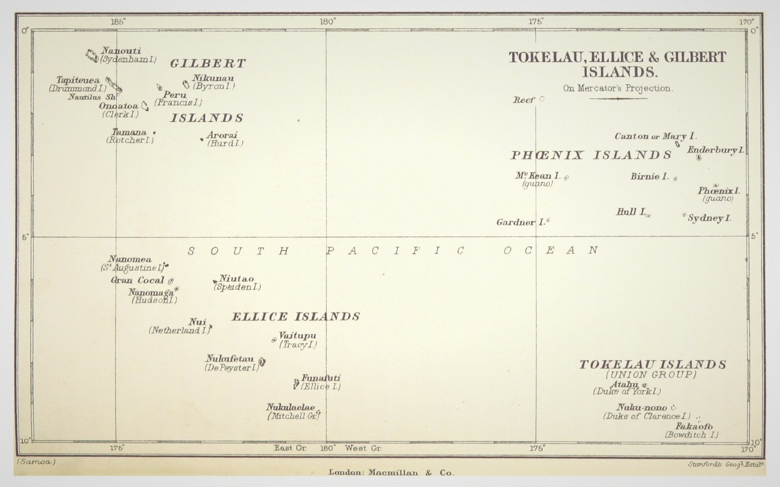 Next in HistoryThe Gilbert and Ellice Islands ColonyThe colonial administration, how the territory was assembled and governed, and the separation that produced two countries.Read it →
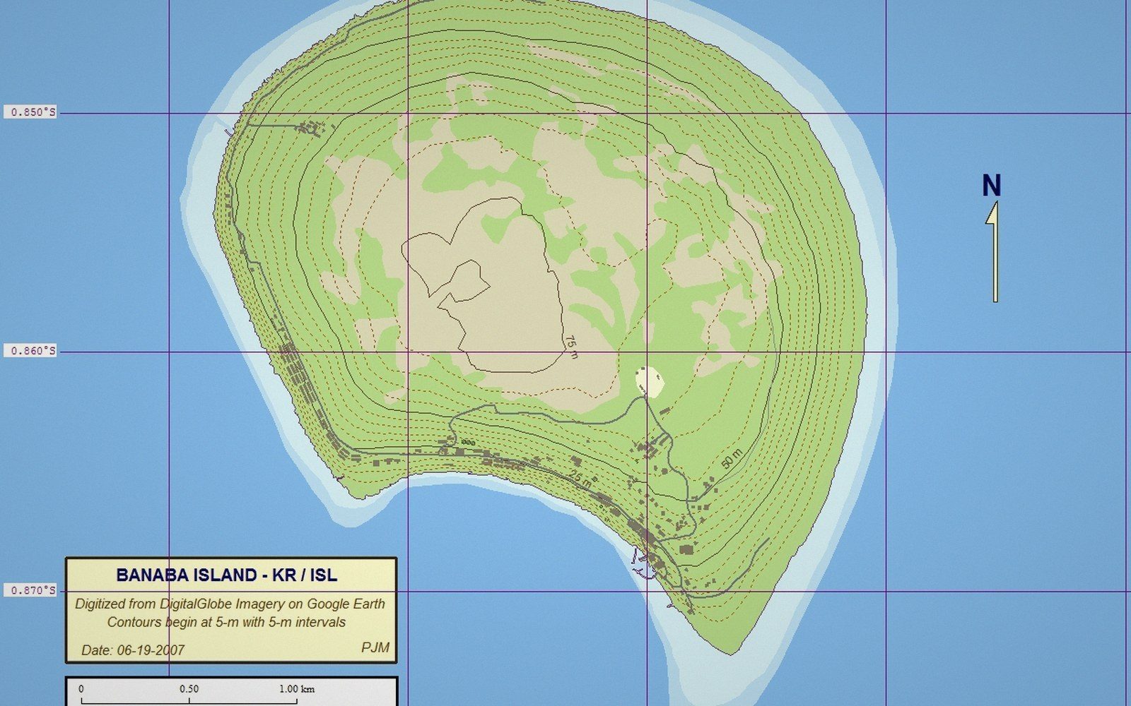 Phosphate and BanabaThe mining of Banaba, the displacement of its people, and the revenue that funded an administration. One of the harder chapters in the country's record, told plainly.
 Independence, 1979The route to independence, the constitutional settlement, and what a newly independent state inherited.
 The Relics Are Still on the BeachCoastal guns, bunkers and wrecks in the landscape at Betio and elsewhere — what they are, why they remain, and how a place lives alongside them.