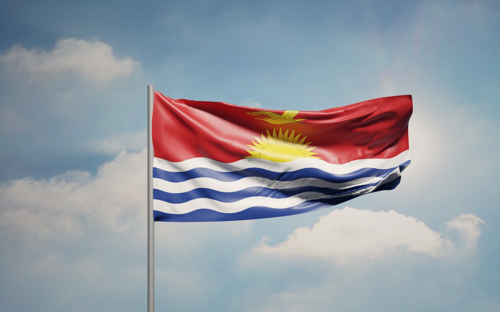
Independence, 1979
The colony had two names and ended as two countries. What replaced it was a state with formal sovereignty, a fishing-ground fortune it had not yet discovered, and almost no land above the tide.
01The Colony Divides
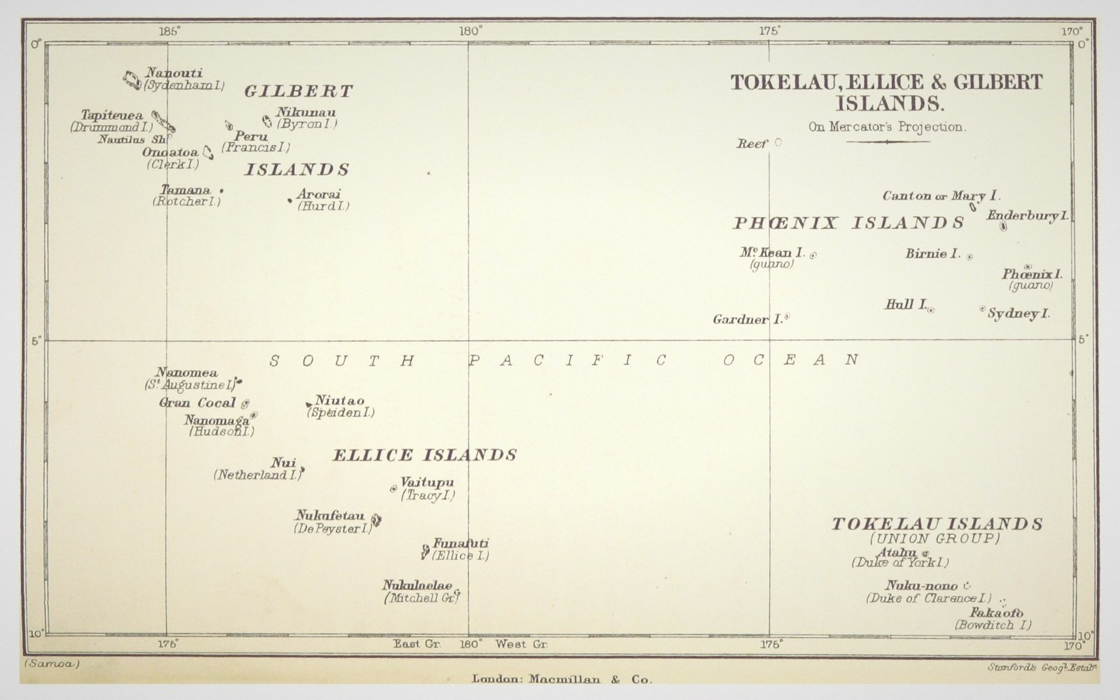
The Gilbert and Ellice Islands Colony had been a convenient administrative fiction since 1916 — two island groups, hundreds of miles apart, bundled under a single British residency because the costs of governing them separately were not worth the effort. By the early 1970s, the fiction had become a problem. Ellice Islanders, Polynesian in language and culture, had long worried that any future self-governing state would be dominated by the more numerous Gilbertese. In 1974 they voted in a referendum, clearly and without violence, to separate. In 1978, the Ellice Islands became Tuvalu. A year later, the Gilbertese islands became Kiribati.
Tuvalu and Kiribati thus arrived at independence on separate tracks and at separate moments, but from a common colonial structure. The partition was orderly, and it set a template the British administration was by then well practised at: negotiate, divide assets, lower the flag, depart. What it left behind in each case was a small, remote state that had to build the institutions of nationhood at the same moment it was taking formal possession of them.
02The Settlement and the Constitution
Kiribati — the name is Gilbertese for Gilberts, the ti digraph pronounced as s, so the country's name sounds like Kiribas — became independent on 12 July 1979. The constitutional framework was Westminster in structure: a unicameral legislature, the Maneaba ni Maungatabu (House of Assembly), an elected president called the Beretitenti, a cabinet drawn from the legislature, and an independent judiciary. The first Beretitenti was Ieremia Tabai, who had led the Gilbertese delegation through the independence negotiations and would serve for more than a decade.
The constitution included a feature that had no direct British precedent: it was shaped, at least partly, around the maneaba, the traditional meeting house that functions as the civic and deliberative centre of Gilbertese community life. The name of the legislature was not merely decorative. The maneaba as a concept implies governed discussion, seniority, and consensus, and those values were threaded into the document alongside the Westminster machinery. The result was a hybrid that no one had exactly attempted before.
What the constitution could not do was resolve geography. Kiribati's thirty-three atolls and reef islands were scattered across roughly 3.5 million square kilometres of ocean in three non-contiguous groups: the Gilberts in the west, the Phoenix Islands in the centre, and the Line Islands in the east. The Line and Phoenix Islands added enormous reach to the country's ocean claim but brought almost no resident population, almost no infrastructure, and extraordinary distances between the capital and the outer islands. Administering that dispersal was a challenge the colonial government had never fully met, and it fell to the new state in its entirety.
03The Inheritance
What Kiribati received on independence was both more and less than it looked.
The land itself — the physical stuff of the country — was thin strips of reef-built coral sand, most of them under five metres at their highest point. The freshwater supply was a fragile lens floating atop saltwater in the substrate, vulnerable to drought, overpumping, and inundation. There was no surface mineral wealth to speak of; the phosphate of Banaba had been substantially mined out by the colonial period, and the island's people had been displaced to Fiji during the Second World War in circumstances that remained a profound grievance. What Kiribati got in 1979 was islands, reefs, and ocean.
The ocean turned out to matter more than anyone initially calculated. The 1982 United Nations Convention on the Law of the Sea — negotiated while Kiribati was still finding its administrative footing — established 200-nautical-mile exclusive economic zones for coastal states. Because Kiribati's islands were spread so widely, its EEZ became one of the largest on earth. Beneath and within it moved some of the world's most productive tuna populations. Licensing foreign fleets to fish that zone would become the country's principal source of government revenue within a decade of independence, a fiscal lifeline that the colonial administration had not anticipated and did not hand over — it emerged from international law after the flag had changed.
The colonial infrastructure legacy was thin. The capital, South Tarawa, was a string of islets on a single atoll, some connected by causeway, whose total land area was small enough to traverse in an afternoon but whose population was already growing rapidly. Services, housing, and sanitation in South Tarawa were under pressure from the first years of independence as internal migration from the outer islands accelerated. The new government inherited these pressures along with the machinery to address them, and the machinery was modest.
Independence did not create Kiribati's exposure to sea-level rise, but it ended the period in which that exposure was someone else's administrative problem. The British government had governed a group of low-lying atolls for decades without treating their elevation as a structural concern. The government of Kiribati could not afford that detachment. From 1979 onward, the existential geography of the place was Kiribati's to navigate.
--- An independent guide to Kiribati. Not a tour operator, booking service or official tourism body, and not affiliated with the Government of Kiribati.
 Next in HistoryThe Relics Are Still on the BeachCoastal guns, bunkers and wrecks in the landscape at Betio and elsewhere — what they are, why they remain, and how a place lives alongside them.Read it →
 Betio, November 1943Three square kilometres, seventy-six hours, and one of the costliest assaults of the Pacific war. The battle described factually and soberly, and the reason the guns are still where they stopped.
 The Gilbert and Ellice Islands ColonyThe colonial administration, how the territory was assembled and governed, and the separation that produced two countries.
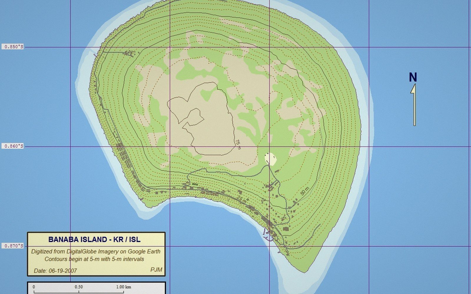 Phosphate and BanabaThe mining of Banaba, the displacement of its people, and the revenue that funded an administration. One of the harder chapters in the country's record, told plainly.