The Highest Ground Is a Few Metres
Sea-level rise is the headline. The mechanisms beneath it — salt creeping into the water table, coral rubble overwashing the land, a lens shrinking millimetre by millimetre — are what actually threaten a habitable Kiribati.
01What the Elevation Means
Stand at the highest point on most Kiribati atolls and you are standing perhaps three metres above mean sea level. On some islets the figure is closer to two. The land is not sinking, not slumping, not eroding in the geological sense — it was always this thin. An atoll is a ring of reef and accumulated coral rubble sitting on the rim of a subsided volcano, and it has never been anything else. The geometry is what it is: a narrow strip of dry ground between a lagoon and an open ocean, built by the same reef system that, over millennia, keeps it in rough equilibrium.
That equilibrium is the thing to hold in mind, because it changes how you read the risk. The popular image of Kiribati — islands quietly disappearing under a rising sea — is not wrong, exactly, but it compresses what is actually a set of distinct and differently-timed processes into a single image of drowning. Each process has its own mechanism, its own timescale, and its own consequences for the people living there now.
Sea level in the central Pacific is not rising uniformly. The region around Kiribati has seen higher-than-average rise over recent decades, reflecting both global thermal expansion and shifts in large-scale ocean circulation patterns. Even a centimetre of rise matters differently on an atoll than on a continental coast, because there is no high ground to retreat to. The margin between habitable land and the sea is measured in decimetres, not floors.
02Three Processes, Not One
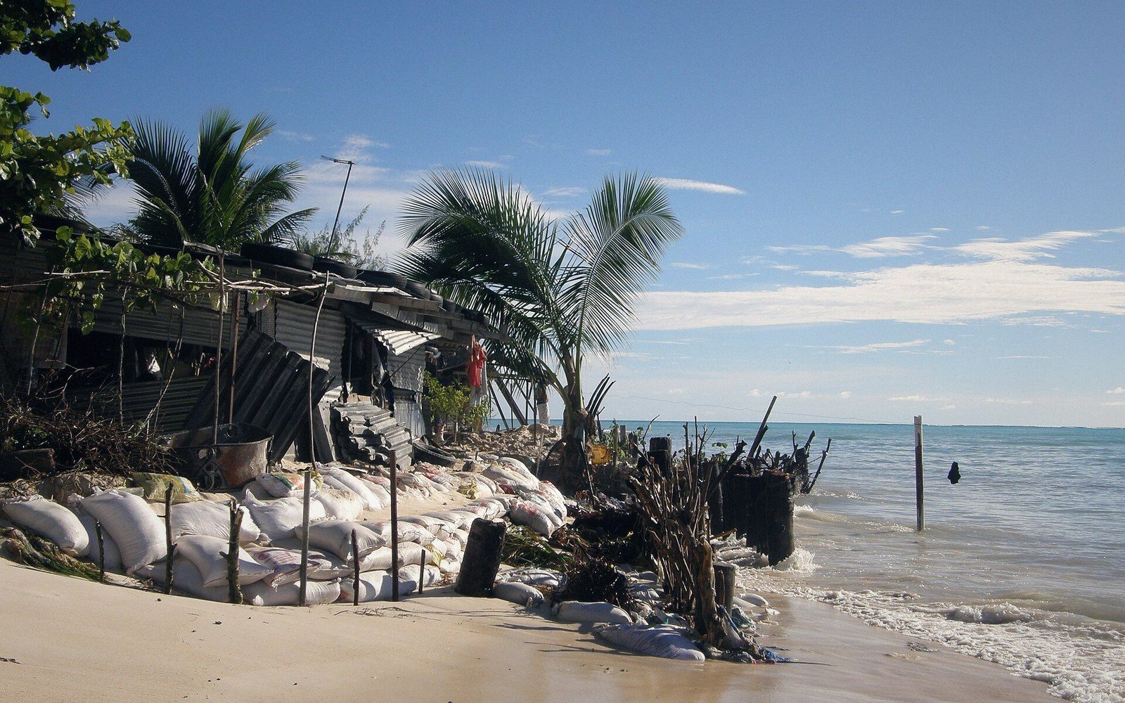
Inundation and wave overwash are the most visible form of damage. During king tides — the extreme high tides that occur when the moon and sun align and orbital geometry pushes the ocean to its highest — low-lying islets can be crossed by seawater that moves through the land rather than around it. Gravel and coral rubble pile up in the middle of the village. Gardens are killed. Floors flood. In most years this is temporary. The water recedes. But temporary flooding leaves salt behind, and salt in soil has cumulative consequences. As sea level rises, the king tides that were exceptional become the tides that occur several times a year, and the flooding that was an event becomes a pattern.
Cyclones and distant storm swells compound this. A swell generated thousands of kilometres away can arrive at an atoll reef face with enough energy to push water metres inland. In 2015, Cyclone Pam — whose worst force was centred on Vanuatu — generated swells that damaged seawalls and flooded houses on southern Tarawa. No cyclone made direct landfall in Kiribati, but the swell alone was enough. This is a characteristic vulnerability of low-lying reef islands: they sit in open ocean, and anything that disturbs a large volume of water in a wide area eventually reaches them.
Coastal erosion is a separate problem, though it amplifies with inundation. Beaches and shorelines on atolls are not passive — they move. The reef system, when healthy, produces the carbonate sand and rubble that naturally replenishes an atoll's shoreline over time. When reef health declines, that sediment supply slows. Coral bleaching, which occurs when ocean temperatures rise above the threshold corals can tolerate for extended periods, kills the organisms that generate this material. A bleached, dead reef does not crumble immediately, but it stops producing the sediment budget on which shoreline stability depends. The connection between ocean warming and coastal erosion on atolls runs through the reef, and takes years to become visible as missing beach.
Salt intrusion into the freshwater lens may be the most consequential process of all, and it is almost never part of the public conversation about Kiribati. Fresh water on an atoll does not come from rivers or lakes — it cannot, because atolls have neither. It comes from rain, which percolates through the porous coral rubble and accumulates as a thin floating body of fresh water above the denser saltwater beneath. This is the freshwater lens, and it is the only reason an atoll island can sustain a permanent human population.
The lens is fragile in ways that have nothing to do with sea-level rise. Drill too many wells too close together, or sink them too deep, and salt is drawn up from below. Let the overlying vegetation that slows surface evaporation be stripped away, and the lens loses its recharge advantage. But sea-level rise adds a new pressure: as the ocean rises, the saltwater that the lens sits above rises with it, compressing the lens from below. Simultaneously, wave overwash events push saltwater laterally through the porous rock, contaminating the lens from the sides. The result is a freshwater source that is simultaneously shrinking and increasingly brackish.
On South Tarawa, where population density has grown substantially over recent decades, the lens was already under significant stress from over-extraction before sea-level rise made its contribution. The two pressures reinforce each other. Desalination units and rainwater catchment systems have become essential infrastructure, not supplementary ones.
03The Time Dimension
There is a common misreading that treats this as a future problem. It is also a present one. I-Kiribati communities — particularly on the outer islands — have been managing increased flooding, declining well quality, and salt-damaged cultivation plots for years. The taro pits that provide the staple starchy crop require careful maintenance of freshwater conditions; salinisation of taro pits is not a projected risk but a documented and ongoing one on several atolls.
At the same time, the trajectory matters. The difference between roughly a metre of sea-level rise by 2100 and half that metre is the difference between severe management challenge and existential displacement for most of the population. Neither outcome will arrive as a sudden event. Habitability is not a cliff edge — it is a slope that gets progressively steeper. The question is less 'when do the islands go under' and more 'at what point does the combination of flooding frequency, lens salinity, and infrastructure damage make ordinary life untenable for people who did not choose any of this.'
The Government of Kiribati has articulated a response through its policy of migration with dignity: the argument that if displacement becomes unavoidable, I-Kiribati people should move as qualified, skilled workers who are sought by receiving countries, not as stateless environmental refugees. The country has invested in overseas training programmes in nursing, maritime trades, and other sectors with external demand, precisely so that migration — if it comes — confers status rather than removes it. This is a policy for people, not for territory, and it does not assume that departure is inevitable or imminent.
04What the Land Does
There is an important correction to the passive-island narrative, and it comes from geomorphological research over the past two decades. Studies across Pacific atolls, including some in Kiribati, have found that several islets have not diminished in land area over recent decades despite measurable sea-level rise. Some have even grown slightly, because the same storms that flood them also deposit material on their surfaces. Rubble and sediment driven inland by wave overwash can raise the surface elevation of an islet marginally over time, provided the reef is still producing sediment and the events are not so extreme as to simply scour the island away.
This is not reassurance — it is a complication. It means the threat is not uniform across all thirty-three islands, not uniform across islets within a single atoll, and not as simple as a single rising line. Some land will grow as others diminish. Some islets will remain above water when others have become permanently inundated. But it also means the discussion of physical survival of land masses is somewhat separate from the discussion of habitability. An islet can persist as a strip of coral rubble while having no usable fresh water and no soil capable of supporting crops. Land area is not the same as liveable ground.
The real constraint is the freshwater lens, the agricultural soil, the reef system that buffers wave energy, and the infrastructure — roads, schools, clinics, government buildings — that has been built on a few metres of elevation in a part of the ocean that is now substantially warmer and higher than it was when that infrastructure went in. Those are the things that make an atoll habitable, and they are all, in different ways and on different timescales, under pressure.
Kiribati's situation is not a metaphor. It is a set of physical problems affecting a real country of real people, problems that are well understood in their mechanisms and whose solutions — where they exist — require engagement with the actual hydrology, ecology, and community circumstances of thirty-three very specific places.
--- An independent guide to Kiribati. Not a tour operator, booking service or official tourism body, and not affiliated with the Government of Kiribati.
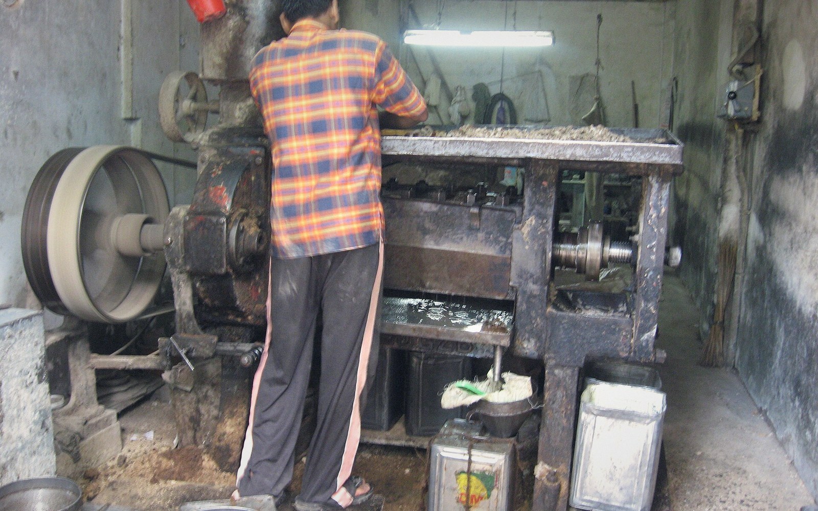 Next in Living With the SeaCopra Holds the Outer Islands TogetherDried coconut as the outer islands' cash crop: how it is produced, how it is shipped, and the role it plays in keeping remote populations viable.Read it →
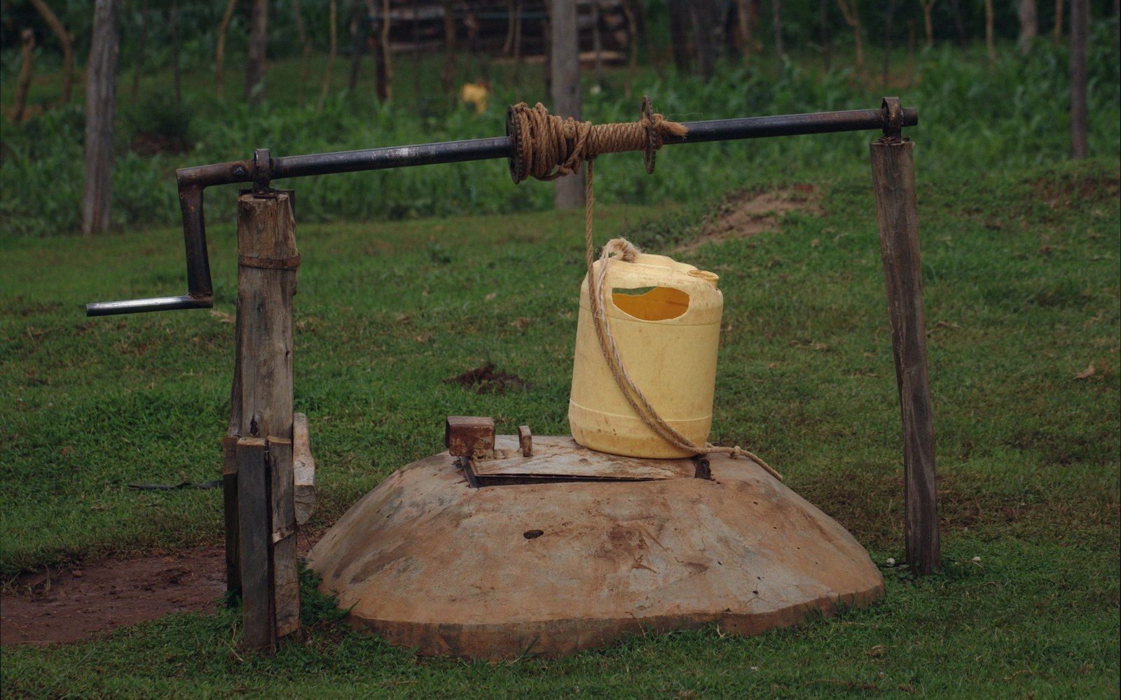 The Freshwater LensFresh water on an atoll floats in a thin lens above the seawater beneath. How the lens forms, how easily it is contaminated or over-drawn, and why rainwater catchment is not a supplement but a foundation.
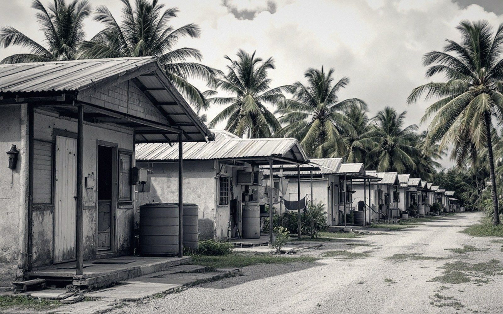 Migration With DignityThe national policy of building skills so that if people must move, they move as sought-after migrants rather than as refugees. Explained as policy, not as prophecy.