The Phoenix Islands Protected Area
A remote archipelago in the central Pacific is enclosed by one of the largest marine protected areas on earth — and the decision to protect it cost Kiribati money it could not easily afford.
01What the Area Is and What It Covers
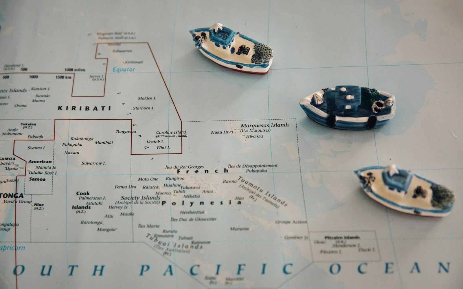
The Phoenix Islands sit near the centre of the Pacific Ocean, roughly equidistant between Hawaii and Fiji, in a part of the ocean so remote that most of the eight islands in the group have never held a permanent population. The group is part of Kiribati's three widely separated island clusters — the Gilberts to the west, the Line Islands to the east, and the Phoenix Islands in the middle. Together they give Kiribati one of the largest exclusive economic zones on earth, and the Phoenix group sits at the heart of it.
The Phoenix Islands Protected Area, known as PIPA, was established in 2006 and expanded to its current extent in 2008. It covers roughly 408,000 square kilometres — an area larger than Germany — of ocean, reef and island. Inscribed as a UNESCO World Heritage Site in 2010, it was for a time the largest marine protected area on the planet, though subsequent designations elsewhere have since created larger single zones. What it retains is a claim to be among the most ecologically intact: the Phoenix Islands are far from any major shipping lane, historically subject to very little fishing pressure, and host reef systems that escaped the worst of the bleaching events that damaged much of the Pacific closer to populated coastlines.
The protected area encompasses the eight islands and their surrounding ocean: Kanton (also written Canton), Enderbury, Birnie, Rawaki (formerly Phoenix), Manra (formerly Sydney), Orona (formerly Hull), McKean and Nikumaroro. Most are tiny raised or low coral islands rather than classic atolls. Kanton, the largest, has a lagoon and was the only island in the group to hold a functioning population in recent decades. It is now home to a small government presence but no settled community in the conventional sense.
02What the Marine Area Actually Protects
The reef and open-ocean systems of the Phoenix group are unusual for a specific reason of oceanography. The islands sit near the equatorial upwelling zone, where cold, nutrient-rich water wells up periodically from depth — the same upwelling dynamics that drive El Niño and La Niña cycles create conditions of exceptional biological variability. In cooler, nutrient-rich periods, the reefs are highly productive; in warmer periods associated with El Niño events, bleaching can be severe and rapid. The 2002–2003 El Niño caused documented mass bleaching across much of PIPA, killing substantial proportions of coral in some areas. The subsequent recovery observed by researchers is one of the reasons the area is scientifically significant: remote, lightly disturbed reefs appear to rebound from thermal stress in ways that reefs under additional human pressures do not.
Below the surface, the protected area covers seamounts and open-ocean habitat that support populations of tuna, sharks, large pelagic fish, seabirds nesting on the islands themselves, and green sea turtles. The seabird colonies on some of the smaller islands are among the largest in the central Pacific. Nikumaroro, apart from its biology, holds a particular place in the story of aviation history as a candidate site for the disappearance of Amelia Earhart in 1937 — though this remains unresolved, and the island's ecological significance is independent of it.
Tuna and the fishing licence economy are the economic foundation of the Kiribati state, and this is exactly where the protected area creates a tension that is not rhetorical.
03The Trade-Off a Small Economy Accepted
In 2015, Kiribati closed PIPA to commercial fishing entirely, converting a zone that had previously allowed some licensed fishing into a no-take area. This was a significant step. The country's budget is substantially funded by fishing licence revenue paid by distant-water fishing nations — principally Asian fleets targeting skipjack and yellowfin tuna in the western and central Pacific. To close a 408,000-square-kilometre portion of the EEZ to that activity was, in fiscal terms, a real cost, not a symbolic one.
Estimates of what the no-take designation costs Kiribati in foregone licence revenue have varied and are difficult to pin down precisely, because licence income depends on fleet activity, tuna stock movements and negotiated rates. What is clear is that when Kiribati announced the closure, the government acknowledged the financial impact explicitly. The framing from senior officials at the time was that the country was making a global environmental contribution while absorbing a national economic loss — and that some mechanism for compensating small island states for such decisions did not yet properly exist.
Part of the thinking behind the closure was also conservation finance: agreements with international conservation organisations, including the New England Aquarium and Conservation International, which had been partners in PIPA's establishment, involved some financial support for management. The Phoenix Islands Trust was established as the body responsible for managing the area's conservation activities. But this funding stream does not simply replace licence revenue at scale, and Kiribati's situation remains one where the arithmetic of global conservation benefit versus local economic cost falls unevenly.
The deeper context is the country's vulnerability to sea-level rise, which is the defining challenge for a nation whose highest ground is a few metres above the ocean. There is a political logic as well as an ecological one in Kiribati's commitment to PIPA: a country that has sacrificed fishing income to protect ocean health has a different standing in international climate negotiations than one that has not. This does not make the sacrifice hypothetical — it happened, and the cost is real — but the motivation was never purely ecological.
04What Remote Protection Means in Practice
Enforcing a no-take zone across 408,000 square kilometres of open ocean, when the country doing the enforcing has limited patrol capacity, is an acknowledged challenge. Kiribati relies on a combination of vessel monitoring systems — which track licensed vessels by satellite — regional surveillance agreements, and the practical reality that the Phoenix Islands are genuinely difficult to reach. The distance that makes the reefs ecologically pristine also makes illegal fishing harder to sustain profitably than in more accessible zones.
Monitoring the area scientifically has depended on periodic research expeditions rather than continuous observation, given the cost and logistics of sustained presence. Scientists from partner institutions have conducted reef surveys, seabird counts and water-column studies, contributing to one of the more detailed biological datasets for a remote Pacific atoll system. What those surveys consistently confirm is that the Phoenix Islands reefs, despite episodic severe bleaching, remain among the structurally most intact reef systems in the central Pacific — a condition that is increasingly rare and increasingly meaningful as climate pressure on reef ecosystems accumulates everywhere else.
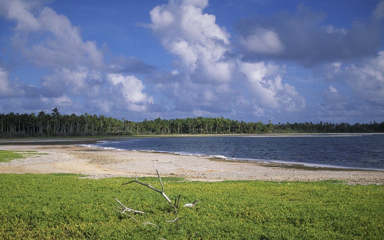 Next in Reef & OceanThe Lagoon Is a SystemCirculation, flushing, sediment and the biology a lagoon supports — and how causeways and settlement change all of it.Read it →
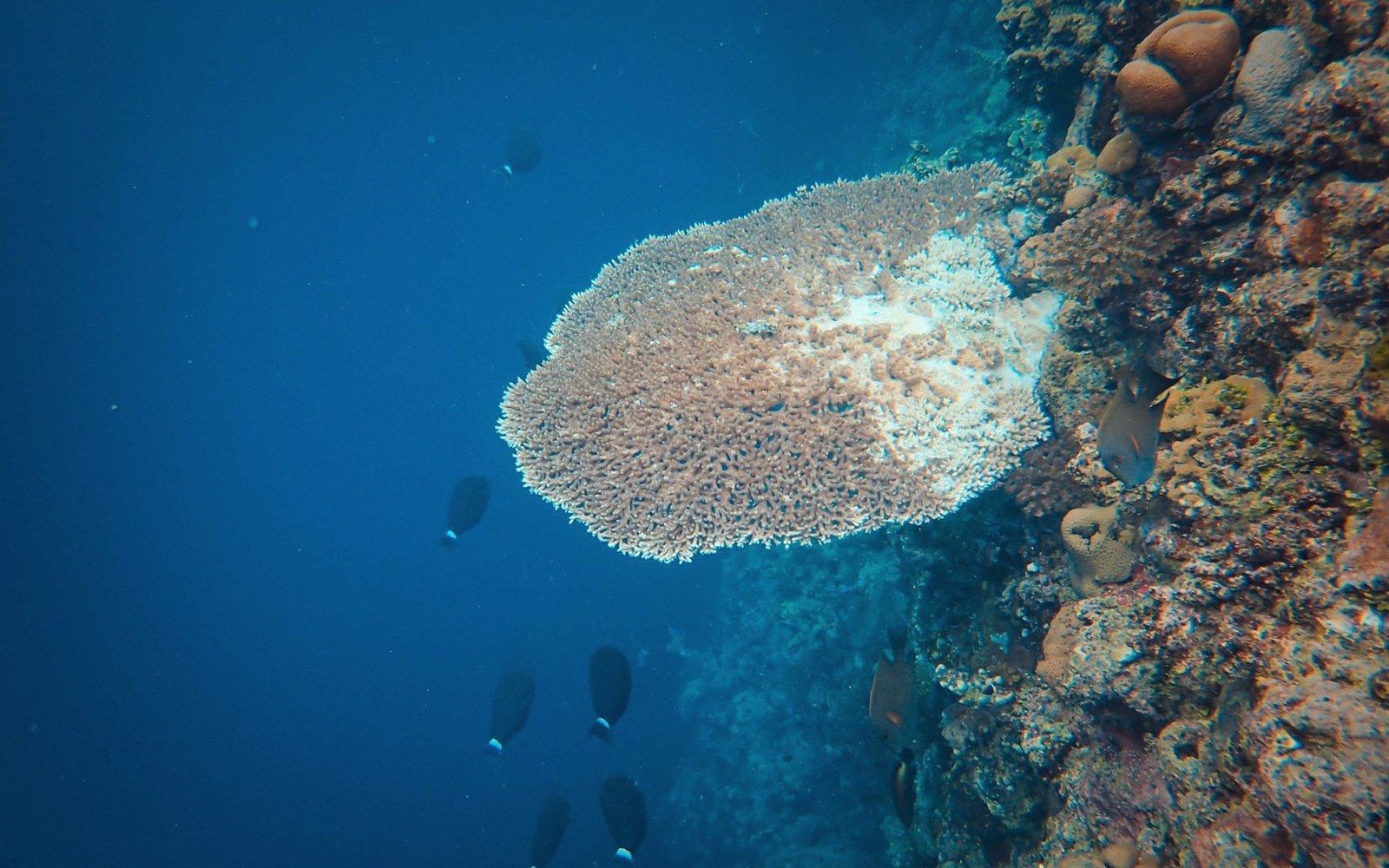 Past the Reef EdgeThe reef flat, the crest and the drop into open ocean — the profile that defines an atoll's edge and why most of the country is vertical water.
 Tuna and the Licence EconomyKiribati's exclusive economic zone is vast and its fishing licence revenue is central to the national budget. How that works, who fishes there, and what the dependency means.
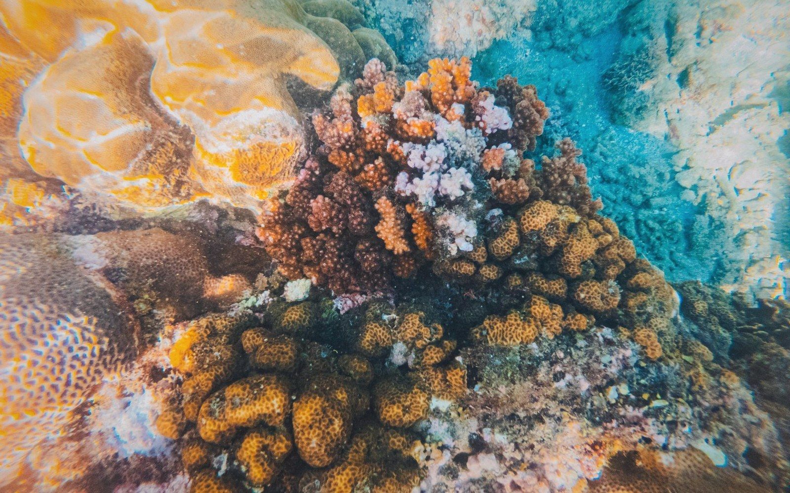 What Bleaching Actually DoesThe mechanism of coral bleaching, the difference between bleached and dead, and the consequences for an island whose land is built of reef material.